Area Overview for BS7 0AT
Photos of BS7 0AT
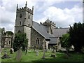
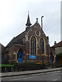
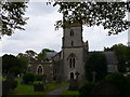
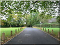
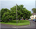
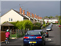
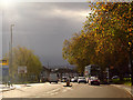
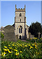
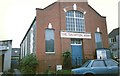
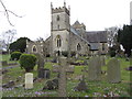
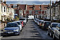
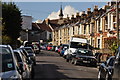
100 photos from this area
Area Information
Key information about the BS7 0AT including its size, population, and administrative classification.
- Area Type
- Postcode
- Area Size
- 4.5 hectares
- Population
- 1722
- Population Density
- 4096 people/km²
House Prices in BS7 0AT
25
Properties
£213,817
Average Sold Price
£59,950
Lowest Price
£387,500
Highest Price
Showing 25 properties
| Address | Type | Beds | Baths | Last Sale Price | Last Sale Date | |
|---|---|---|---|---|---|---|
| 115 Filton Avenue, Horfield, Bristol, BS7 0AT | Semi-detached | 3 | - | £387,500 | Nov 2024 | |
| 117 Filton Avenue, Horfield, Bristol, BS7 0AT | Semi-detached | 3 | 2 | £370,000 | Jun 2023 | |
| 119 Filton Avenue, Horfield, Bristol, BS7 0AT | Semi-detached | 4 | 1 | £375,000 | Jun 2023 | |
| 127 Filton Avenue, Horfield, Bristol, BS7 0AT | Semi-detached | 3 | 1 | £323,800 | Sep 2018 | |
| 139 Filton Avenue, Horfield, Bristol, BS7 0AT | Semi-detached | 3 | - | £321,500 | May 2016 | |
| 143 Filton Avenue, Horfield, Bristol, BS7 0AT | Terraced | - | - | £160,000 | Nov 2014 | |
| 121 Filton Avenue, Horfield, Bristol, BS7 0AT | Semi-detached | 3 | - | £275,000 | Oct 2014 | |
| 157 Filton Avenue, Horfield, Bristol, BS7 0AT | Semi-detached | 3 | 2 | £205,000 | Nov 2013 | |
| 145 Filton Avenue, Horfield, Bristol, BS7 0AT | house | - | - | £207,000 | Nov 2012 | |
| 153 Filton Avenue, Horfield, Bristol, BS7 0AT | house | 3 | - | £137,000 | Mar 2011 |
Page 1 of 3
Energy Efficiency in BS7 0AT
Amenities
Schools
| Rank | School | Type | Entry gender | Ages |
|---|
Explore more schools in this area
Go to Schools tabDemographics
Household Size
Family (3-5 people)
most common
Accommodation Type
Houses
most common
Tenure
60
majority
Ethnic Group
White
most common
Religion
N/A
most common
Household Composition
N/A
most common
Age
47
median
Adults (30-64 years)
most common
Household Deprivation
N/A
with no deprivation
NS-SEC
35
in Lower managerial occupations
Explore more demographic insights in this area
Go to Demographics tabPlanning
Planning Constraints
- Flood RiskPremium
- Ramsar Wetland SitesPremium
- Area of Outstanding Natural BeautyPremium
- Protected Nature ReservePremium
- Protected WoodlandPremium