Area Overview for BS7 0AR
Photos of BS7 0AR
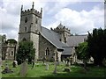
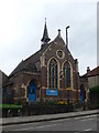
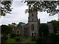
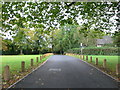
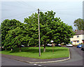
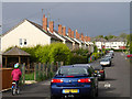
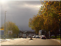
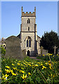
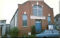
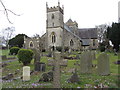
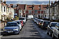
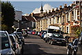
100 photos from this area
Area Information
Key information about the BS7 0AR including its size, population, and administrative classification.
- Area Type
- Postcode
- Area Size
- 4335 m²
- Population
- Not available
- Population Density
- Not available
House Prices in BS7 0AR
15
Properties
£219,188
Average Sold Price
£52,000
Lowest Price
£485,000
Highest Price
Showing 15 properties
| Address | Type | Beds | Baths | Last Sale Price | Last Sale Date | |
|---|---|---|---|---|---|---|
| 156 Filton Avenue, Horfield, Bristol, BS7 0AR | Terraced | 3 | 2 | £419,500 | Oct 2023 | |
| 142 Filton Avenue, Horfield, Bristol, BS7 0AR | Terraced | 3 | 2 | £485,000 | Sep 2023 | |
| 162 Filton Avenue, Horfield, Bristol, BS7 0AR | Terraced | 4 | 1 | £325,000 | Nov 2022 | |
| 150 Filton Avenue, Horfield, Bristol, BS7 0AR | house | 4 | - | £194,000 | Jun 2011 | |
| 144 Filton Avenue, Horfield, Bristol, BS7 0AR | Terraced | - | - | £67,500 | Oct 2002 | |
| 146 Filton Avenue, Horfield, Bristol, BS7 0AR | Terraced | - | - | £115,000 | Apr 2002 | |
| 138 Filton Avenue, Horfield, Bristol, BS7 0AR | Terraced | - | - | £95,500 | Jan 2001 | |
| 152 Filton Avenue, Horfield, Bristol, BS7 0AR | Terraced | - | - | £52,000 | Jun 1999 | |
| 164 Filton Avenue, Horfield, Bristol, BS7 0AR | Terraced | 3 | 1 | - | - | |
| 148 Filton Avenue, Horfield, Bristol, BS7 0AR | Terraced | - | - | - | - |
Page 1 of 2
Energy Efficiency in BS7 0AR
Amenities
Schools
| Rank | School | Type | Entry gender | Ages |
|---|
Explore more schools in this area
Go to Schools tabDemographics
Household Size
Family (3-5 people)
most common
Accommodation Type
Houses
most common
Tenure
63
majority
Ethnic Group
White
most common
Religion
N/A
most common
Household Composition
N/A
most common
Age
47
median
Adults (30-64 years)
most common
Household Deprivation
N/A
with no deprivation
NS-SEC
44
in Lower managerial occupations
Explore more demographic insights in this area
Go to Demographics tabPlanning
Planning Constraints
- Flood RiskPremium
- Ramsar Wetland SitesPremium
- Area of Outstanding Natural BeautyPremium
- Protected Nature ReservePremium
- Protected WoodlandPremium