Area Overview for BS48 2AW
Photos of BS48 2AW
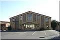
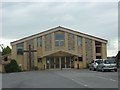
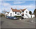
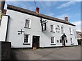
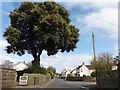
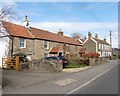

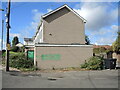
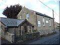
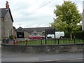
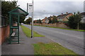
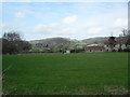
24 photos from this area
Area Information
Key information about the BS48 2AW including its size, population, and administrative classification.
- Area Type
- Postcode
- Area Size
- 7730 m²
- Population
- Not available
- Population Density
- Not available
House Prices in BS48 2AW
18
Properties
£208,296
Average Sold Price
£58,950
Lowest Price
£356,000
Highest Price
Showing 18 properties
| Address | Type | Beds | Baths | Last Sale Price | Last Sale Date | |
|---|---|---|---|---|---|---|
| 3 Moorfields Road, Nailsea, BS48 2AW | Semi-detached | 4 | 1 | £356,000 | Oct 2022 | |
| 7 Moorfields Road, Nailsea, BS48 2AW | Bungalow | - | - | £282,000 | Sep 2018 | |
| 6 Moorfields Road, Nailsea, BS48 2AW | house | - | - | £255,000 | Mar 2017 | |
| 14 Moorfields Road, Nailsea, BS48 2AW | Semi-detached | 3 | 1 | £235,000 | Dec 2015 | |
| 1 Moorfields Road, Nailsea, BS48 2AW | Bungalow | 3 | - | £303,000 | Dec 2013 | |
| 17 Moorfields Road, Nailsea, BS48 2AW | Bungalow | - | - | £183,000 | Nov 2008 | |
| 5 Moorfields Road, Nailsea, BS48 2AW | Flat | 1 | 1 | £200,000 | Dec 2006 | |
| 15 Moorfields Road, Nailsea, BS48 2AW | Bungalow | 3 | 2 | £256,000 | Jul 2005 | |
| 9 Moorfields Road, Nailsea, BS48 2AW | Detached | - | - | £249,950 | Oct 2004 | |
| 12 Moorfields Road, Nailsea, BS48 2AW | Bungalow | - | - | £126,000 | Jun 2004 |
Page 1 of 2
Energy Efficiency in BS48 2AW
Amenities
Schools
| Rank | School | Type | Entry gender | Ages |
|---|
Explore more schools in this area
Go to Schools tabDemographics
Household Size
One person
most common
Accommodation Type
Houses
most common
Tenure
71
majority
Ethnic Group
White
most common
Religion
N/A
most common
Household Composition
N/A
most common
Age
47
median
Adults (30-64 years)
most common
Household Deprivation
N/A
with no deprivation
NS-SEC
34
in Lower managerial occupations
Explore more demographic insights in this area
Go to Demographics tabPlanning
Planning Constraints
- Flood RiskPremium
- Ramsar Wetland SitesPremium
- Area of Outstanding Natural BeautyPremium
- Protected Nature ReservePremium
- Protected WoodlandPremium