Area Overview for BS40 5EG
Photos of BS40 5EG
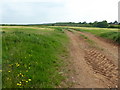
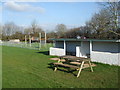
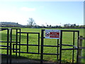
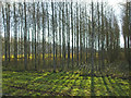
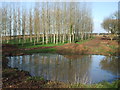
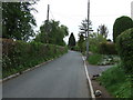
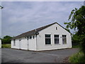
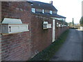
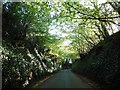
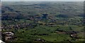
13 photos from this area
Area Information
Key information about the BS40 5EG including its size, population, and administrative classification.
- Area Type
- Postcode
- Area Size
- 1.7 hectares
- Population
- 1440
- Population Density
- 223 people/km²
House Prices in BS40 5EG
30
Properties
£222,849
Average Sold Price
£59,500
Lowest Price
£435,000
Highest Price
Showing 30 properties
| Address | Type | Beds | Baths | Last Sale Price | Last Sale Date | |
|---|---|---|---|---|---|---|
| 10 Ladymead Lane, Langford, BS40 5EG | Semi-detached | 3 | 1 | £375,000 | Apr 2024 | |
| 18 Ladymead Lane, Langford, BS40 5EG | Semi-detached | 3 | 1 | £435,000 | Nov 2023 | |
| 20 Ladymead Lane, Langford, BS40 5EG | house | 4 | - | £395,000 | Feb 2023 | |
| 12 Ladymead Lane, Langford, BS40 5EG | Semi-detached | 3 | 1 | £287,500 | Oct 2018 | |
| 3 Ladymead Lane, Langford, BS40 5EG | Semi-detached | 4 | 1 | £325,000 | Feb 2018 | |
| 17 Ladymead Lane, Langford, BS40 5EG | house | 3 | 1 | £225,000 | Aug 2015 | |
| 26 Ladymead Lane, Langford, BS40 5EG | Semi-detached | 3 | 2 | £175,540 | Aug 2014 | |
| 21 Ladymead Lane, Langford, BS40 5EG | house | - | - | £230,750 | Oct 2012 | |
| 23 Ladymead Lane, Langford, BS40 5EG | house | 3 | - | £162,000 | Jun 2012 | |
| 15 Ladymead Lane, Langford, BS40 5EG | house | - | - | £170,000 | Nov 2011 |
Page 1 of 3
Energy Efficiency in BS40 5EG
Amenities
Schools
| Rank | School | Type | Entry gender | Ages |
|---|
Explore more schools in this area
Go to Schools tabDemographics
Household Size
Family (3-5 people)
most common
Accommodation Type
Houses
most common
Tenure
86
majority
Ethnic Group
White
most common
Religion
N/A
most common
Household Composition
N/A
most common
Age
47
median
Adults (30-64 years)
most common
Household Deprivation
N/A
with no deprivation
NS-SEC
49
in Lower managerial occupations
Explore more demographic insights in this area
Go to Demographics tabPlanning
Planning Constraints
- Flood RiskPremium
- Ramsar Wetland SitesPremium
- Area of Outstanding Natural BeautyPremium
- Protected Nature ReservePremium
- Protected WoodlandPremium