Area Overview for BS40 5EF
Photos of BS40 5EF
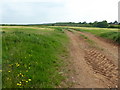
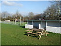
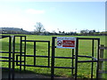
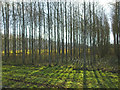
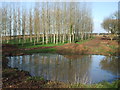
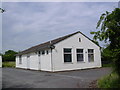
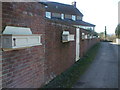
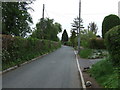
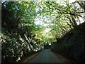
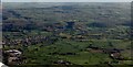
13 photos from this area
Area Information
Key information about the BS40 5EF including its size, population, and administrative classification.
- Area Type
- Postcode
- Area Size
- 11.5 hectares
- Population
- 1440
- Population Density
- 223 people/km²
House Prices in BS40 5EF
14
Properties
£470,222
Average Sold Price
£80,000
Lowest Price
£640,000
Highest Price
Showing 14 properties
| Address | Type | Beds | Baths | Last Sale Price | Last Sale Date | |
|---|---|---|---|---|---|---|
| Ancarva House, Ladymead Lane, Langford, BS40 5EF | house | - | - | £640,000 | Sep 2021 | |
| Touchdown, Ladymead Lane, Langford, BS40 5EF | house | - | - | £590,000 | Mar 2021 | |
| The Paddock, Ladymead Lane, Langford, BS40 5EF | house | - | - | £80,000 | Nov 2020 | |
| Valency, Ladymead Lane, Langford, BS40 5EF | Land | 32 | 24 | £587,000 | Oct 2020 | |
| Tamar, Ladymead Lane, Langford, BS40 5EF | Bungalow | - | - | £585,000 | Feb 2020 | |
| Openland, Ladymead Lane, Langford, BS40 5EF | Detached | 5 | - | £580,000 | Jul 2017 | |
| The Cottage, Ladymead Lane, Langford, BS40 5EF | house | - | - | £602,000 | Aug 2012 | |
| Ploughed Paddock, Ladymead Lane, Langford, BS40 5EF | Detached | 4 | 3 | £440,000 | Apr 2008 | |
| The Firs, Ladymead Lane, Langford, BS40 5EF | Detached | - | - | £128,000 | Apr 1997 | |
| Lysandra, Ladymead Lane, Langford, BS40 5EF | Detached | - | - | - | - |
Page 1 of 2
Energy Efficiency in BS40 5EF
Amenities
Schools
| Rank | School | Type | Entry gender | Ages |
|---|
Explore more schools in this area
Go to Schools tabDemographics
Household Size
Family (3-5 people)
most common
Accommodation Type
Houses
most common
Tenure
86
majority
Ethnic Group
White
most common
Religion
N/A
most common
Household Composition
N/A
most common
Age
47
median
Adults (30-64 years)
most common
Household Deprivation
N/A
with no deprivation
NS-SEC
49
in Lower managerial occupations
Explore more demographic insights in this area
Go to Demographics tabPlanning
Planning Constraints
- Flood RiskPremium
- Ramsar Wetland SitesPremium
- Area of Outstanding Natural BeautyPremium
- Protected Nature ReservePremium
- Protected WoodlandPremium