Area Overview for BS4 3DL
Photos of BS4 3DL
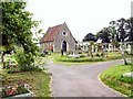
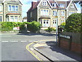
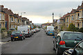
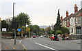
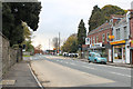
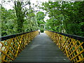
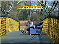
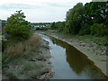
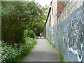
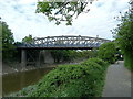
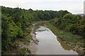
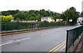
100 photos from this area
Area Information
Key information about the BS4 3DL including its size, population, and administrative classification.
- Area Type
- Postcode
- Area Size
- 1415 m²
- Population
- Not available
- Population Density
- Not available
House Prices in BS4 3DL
67
Properties
£334,796
Average Sold Price
£270,000
Lowest Price
£405,000
Highest Price
Showing 67 properties
| Address | Type | Beds | Baths | Last Sale Price | Last Sale Date | |
|---|---|---|---|---|---|---|
| 125 Paintworks, Brislington, Bristol, BS4 3DL | Flat | - | - | £405,000 | Apr 2023 | |
| 112 Paintworks, Brislington, Bristol, BS4 3DL | Flat | - | - | £350,000 | Mar 2023 | |
| 117 Paintworks, Brislington, Bristol, BS4 3DL | Flat | 2 | 1 | £337,500 | Feb 2023 | |
| 121 Paintworks, Brislington, Bristol, BS4 3DL | Flat | - | - | £349,000 | Feb 2023 | |
| 108 Paintworks, Brislington, Bristol, BS4 3DL | Flat | - | - | £335,000 | Feb 2023 | |
| 115 Paintworks, Brislington, Bristol, BS4 3DL | Flat | - | - | £349,000 | Feb 2023 | |
| 120 Paintworks, Brislington, Bristol, BS4 3DL | Flat | - | - | £315,000 | Feb 2023 | |
| 113 Paintworks, Brislington, Bristol, BS4 3DL | Flat | - | - | £341,550 | Feb 2023 | |
| 111 Paintworks, Brislington, Bristol, BS4 3DL | Flat | 1 | 1 | £270,000 | Feb 2023 | |
| 119 Paintworks, Brislington, Bristol, BS4 3DL | Flat | 2 | 1 | £356,100 | Feb 2023 |
Page 1 of 7
Energy Efficiency in BS4 3DL
Amenities
Schools
| Rank | School | Type | Entry gender | Ages |
|---|
Explore more schools in this area
Go to Schools tabDemographics
Household Size
Two person
most common
Accommodation Type
Houses
most common
Tenure
68
majority
Ethnic Group
White
most common
Religion
N/A
most common
Household Composition
N/A
most common
Age
47
median
Adults (30-64 years)
most common
Household Deprivation
N/A
with no deprivation
NS-SEC
54
in Lower managerial occupations
Explore more demographic insights in this area
Go to Demographics tabPlanning
Planning Constraints
- Flood RiskPremium
- Ramsar Wetland SitesPremium
- Area of Outstanding Natural BeautyPremium
- Protected Nature ReservePremium
- Protected WoodlandPremium