Area Overview for BS39 5TE
Photos of BS39 5TE
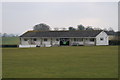
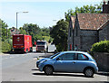
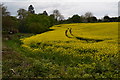
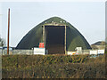
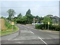
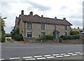
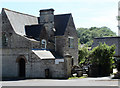
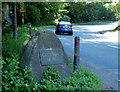
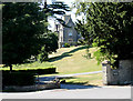
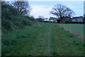
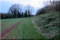
18 photos from this area
Area Information
Key information about the BS39 5TE including its size, population, and administrative classification.
- Area Type
- Postcode
- Area Size
- 6.9 hectares
- Population
- 1213
- Population Density
- 550 people/km²
House Prices in BS39 5TE
22
Properties
£388,464
Average Sold Price
£71,250
Lowest Price
£805,000
Highest Price
Showing 22 properties
| Address | Type | Beds | Baths | Last Sale Price | Last Sale Date | |
|---|---|---|---|---|---|---|
| Plumtree Cottage, Upper Bristol Road, Clutton, Bristol, BS39 5TE | Terraced | 3 | 1 | £353,000 | Jan 2024 | |
| Grafton House, Upper Bristol Road, Clutton, Bristol, BS39 5TE | Terraced | 4 | 1 | £325,000 | Jan 2020 | |
| Old School House, Upper Bristol Road, Clutton, Bristol, BS39 5TE | Detached | 4 | 2 | £805,000 | Jan 2020 | |
| The Old Bakehouse, 27 Upper Bristol Road, Clutton, Bristol, BS39 5TE | house | 3 | - | £455,000 | Nov 2018 | |
| Springwells, 29 Upper Bristol Road, Clutton, Bristol, BS39 5TE | Terraced | 4 | 3 | £330,000 | Apr 2016 | |
| The Old Rectory, Upper Bristol Road, Clutton, Bristol, BS39 5TE | Detached | - | - | £380,000 | May 1999 | |
| Forge House, 33 Upper Bristol Road, Clutton, Bristol, BS39 5TE | Semi-detached | - | - | £71,250 | Aug 1996 | |
| Gastons Gate, Upper Bristol Road, Clutton, Bristol, BS39 5TE | Semi-detached | 3 | 1 | - | - | |
| Holloways, Upper Bristol Road, Clutton, Bristol, BS39 5TE | Retail | 3 | 4 | - | - | |
| Woodview, Upper Bristol Road, Clutton, Bristol, BS39 5TE | Semi-detached | 3 | 1 | - | - |
Page 1 of 3
Energy Efficiency in BS39 5TE
Amenities
Schools
| Rank | School | Type | Entry gender | Ages |
|---|
Explore more schools in this area
Go to Schools tabDemographics
Household Size
Family (3-5 people)
most common
Accommodation Type
Houses
most common
Tenure
82
majority
Ethnic Group
White
most common
Religion
N/A
most common
Household Composition
N/A
most common
Age
47
median
Adults (30-64 years)
most common
Household Deprivation
N/A
with no deprivation
NS-SEC
38
in Lower managerial occupations
Explore more demographic insights in this area
Go to Demographics tabPlanning
Planning Constraints
- Flood RiskPremium
- Ramsar Wetland SitesPremium
- Area of Outstanding Natural BeautyPremium
- Protected Nature ReservePremium
- Protected WoodlandPremium