Area Overview for BS39 5TA
Photos of BS39 5TA
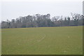
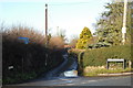

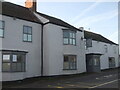
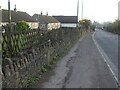
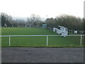

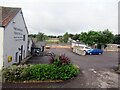
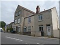
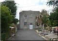
27 photos from this area
Area Information
Key information about the BS39 5TA including its size, population, and administrative classification.
- Area Type
- Postcode
- Area Size
- 16.3 hectares
- Population
- 1213
- Population Density
- 550 people/km²
House Prices in BS39 5TA
7
Properties
£432,000
Average Sold Price
£432,000
Lowest Price
£432,000
Highest Price
Showing 7 properties
| Address | Type | Beds | Baths | Last Sale Price | Last Sale Date | |
|---|---|---|---|---|---|---|
| The Old Manse, Upper Bristol Road, Clutton, Bristol, BS39 5TA | Detached | 4 | 3 | £432,000 | Jan 2017 | |
| Flat At, Warwick Arms, Upper Bristol Road, Clutton, Bristol, BS39 5TA | restaurant_cafe | - | - | - | - | |
| Former R J Free Office, Upper Bristol Road, Clutton, Bristol, BS39 5TA | Industrial | - | - | - | - | |
| Social Club, Clutton Association Football Club, Upper Bristol Road, Clutton, Bristol, BS39 5TA | Leisure | - | - | - | - | |
| Billy Chip Cic, The Soap Bar And Café, Upper Bristol Road, Clutton, Bristol, BS39 5TA | commercial | - | - | - | - | |
| Moo Valley Milk, Upper Bristol Road, Clutton, Bristol, BS39 5TA | Restaurant | - | - | - | - | |
| Hartwell House, Upper Bristol Road, Clutton, Bristol, BS39 5TA | Detached | - | - | - | - |
Energy Efficiency in BS39 5TA
Amenities
Schools
| Rank | School | Type | Entry gender | Ages |
|---|
Explore more schools in this area
Go to Schools tabDemographics
Household Size
Family (3-5 people)
most common
Accommodation Type
Houses
most common
Tenure
82
majority
Ethnic Group
White
most common
Religion
N/A
most common
Household Composition
N/A
most common
Age
47
median
Adults (30-64 years)
most common
Household Deprivation
N/A
with no deprivation
NS-SEC
38
in Lower managerial occupations
Explore more demographic insights in this area
Go to Demographics tabPlanning
Planning Constraints
- Flood RiskPremium
- Ramsar Wetland SitesPremium
- Area of Outstanding Natural BeautyPremium
- Protected Nature ReservePremium
- Protected WoodlandPremium