Area Overview for BS37 8UJ
Photos of BS37 8UJ
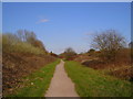
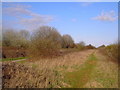
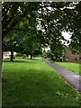
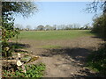
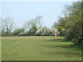
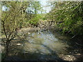
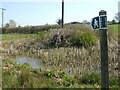
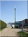
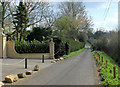
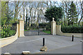
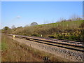
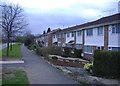
12 photos from this area
Area Information
Key information about the BS37 8UJ including its size, population, and administrative classification.
- Area Type
- Postcode
- Area Size
- 3.5 hectares
- Population
- 1411
- Population Density
- 6754 people/km²
House Prices in BS37 8UJ
13
Properties
£199,900
Average Sold Price
£128,000
Lowest Price
£298,000
Highest Price
Showing 13 properties
| Address | Type | Beds | Baths | Last Sale Price | Last Sale Date | |
|---|---|---|---|---|---|---|
| 157A Littledean, Yate, BS37 8UJ | Terraced | 2 | 1 | £266,000 | Nov 2025 | |
| 155 Littledean, Yate, BS37 8UJ | Detached | 3 | 1 | £298,000 | Jun 2025 | |
| 143 Littledean, Yate, BS37 8UJ | Terraced | 3 | 1 | £294,000 | Nov 2022 | |
| 142 Littledean, Yate, BS37 8UJ | Terraced | 3 | 1 | £227,000 | Feb 2020 | |
| 141 Littledean, Yate, BS37 8UJ | Terraced | 3 | - | £210,000 | Jun 2016 | |
| 157 Littledean, Yate, BS37 8UJ | Terraced | 3 | 1 | £155,000 | Dec 2009 | |
| 149 Littledean, Yate, BS37 8UJ | Terraced | - | - | £152,000 | Aug 2006 | |
| 148 Littledean, Yate, BS37 8UJ | Terraced | 3 | 1 | £128,000 | Sep 2004 | |
| 140 Littledean, Yate, BS37 8UJ | Terraced | - | - | £135,000 | Aug 2004 | |
| 154 Littledean, Yate, BS37 8UJ | Terraced | - | - | £134,000 | Oct 2002 |
Page 1 of 2
Energy Efficiency in BS37 8UJ
Amenities
Schools
| Rank | School | Type | Entry gender | Ages |
|---|
Explore more schools in this area
Go to Schools tabDemographics
Household Size
Family (3-5 people)
most common
Accommodation Type
Houses
most common
Tenure
81
majority
Ethnic Group
White
most common
Religion
N/A
most common
Household Composition
N/A
most common
Age
47
median
Adults (30-64 years)
most common
Household Deprivation
N/A
with no deprivation
NS-SEC
24
in Lower managerial occupations
Explore more demographic insights in this area
Go to Demographics tabPlanning
Planning Constraints
- Flood RiskPremium
- Ramsar Wetland SitesPremium
- Area of Outstanding Natural BeautyPremium
- Protected Nature ReservePremium
- Protected WoodlandPremium