Area Overview for BS31 3DS
Photos of BS31 3DS
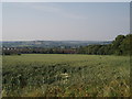
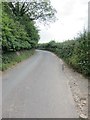
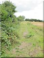
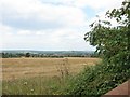
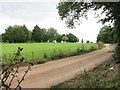
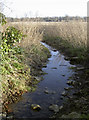
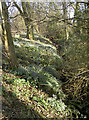
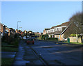
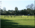
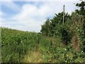
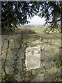
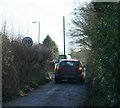
15 photos from this area
Area Information
Key information about the BS31 3DS including its size, population, and administrative classification.
- Area Type
- Postcode
- Area Size
- 3477 m²
- Population
- 1368
- Population Density
- 774 people/km²
House Prices in BS31 3DS
8
Properties
£318,790
Average Sold Price
£87,000
Lowest Price
£627,000
Highest Price
Showing 8 properties
| Address | Type | Beds | Baths | Last Sale Price | Last Sale Date | |
|---|---|---|---|---|---|---|
| 50 Claverton Road West, Saltford, BS31 3DS | Semi-detached | 3 | 1 | £440,000 | Dec 2023 | |
| 56 Claverton Road West, Saltford, BS31 3DS | house | 4 | 1 | £627,000 | Mar 2023 | |
| 54 Claverton Road West, Saltford, BS31 3DS | Semi-detached | - | - | £270,000 | Mar 2010 | |
| 46 Claverton Road West, Saltford, BS31 3DS | Semi-detached | - | - | £169,950 | Jun 2002 | |
| 52 Claverton Road West, Saltford, BS31 3DS | Semi-detached | - | - | £87,000 | Mar 1995 | |
| 47 Claverton Road West, Saltford, BS31 3DS | Detached | - | - | - | - | |
| 48 Claverton Road West, Saltford, BS31 3DS | Terraced | - | - | - | - | |
| 45 Claverton Road West, Saltford, BS31 3DS | Semi-detached | - | - | - | - |
Energy Efficiency in BS31 3DS
Amenities
Schools
| Rank | School | Type | Entry gender | Ages |
|---|
Explore more schools in this area
Go to Schools tabDemographics
Household Size
Family (3-5 people)
most common
Accommodation Type
Houses
most common
Tenure
97
majority
Ethnic Group
White
most common
Religion
N/A
most common
Household Composition
N/A
most common
Age
47
median
Adults (30-64 years)
most common
Household Deprivation
N/A
with no deprivation
NS-SEC
56
in Lower managerial occupations
Explore more demographic insights in this area
Go to Demographics tabPlanning
Planning Constraints
- Flood RiskPremium
- Ramsar Wetland SitesPremium
- Area of Outstanding Natural BeautyPremium
- Protected Nature ReservePremium
- Protected WoodlandPremium