Area Overview for BS31 3AB
Photos of BS31 3AB
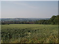
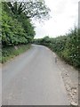
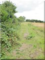
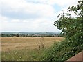
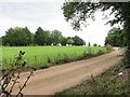
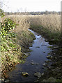
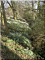
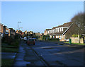
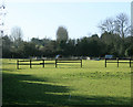
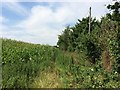
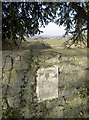
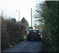
15 photos from this area
Area Information
Key information about the BS31 3AB including its size, population, and administrative classification.
- Area Type
- Postcode
- Area Size
- 51.6 hectares
- Population
- 1353
- Population Density
- 1008 people/km²
House Prices in BS31 3AB
28
Properties
£373,761
Average Sold Price
£84,500
Lowest Price
£745,000
Highest Price
Showing 28 properties
| Address | Type | Beds | Baths | Last Sale Price | Last Sale Date | |
|---|---|---|---|---|---|---|
| 47 Manor Road, Saltford, BS31 3AB | Bungalow | 3 | 2 | £537,500 | Aug 2023 | |
| 42 Manor Road, Saltford, BS31 3AB | Bungalow | - | - | £465,000 | Mar 2022 | |
| 70 Manor Road, Saltford, BS31 3AB | Bungalow | 4 | 2 | £745,000 | Nov 2021 | |
| 56 Manor Road, Saltford, BS31 3AB | Bungalow | - | - | £650,000 | Dec 2020 | |
| 78 Manor Road, Saltford, BS31 3AB | Semi-detached | 3 | 1 | £325,000 | Jun 2018 | |
| 72 Manor Road, Saltford, BS31 3AB | house | 4 | - | £358,000 | Feb 2016 | |
| 43 Manor Road, Saltford, BS31 3AB | Terraced | 3 | 1 | £215,000 | Jan 2016 | |
| 52 Manor Road, Saltford, BS31 3AB | Bungalow | 4 | 3 | £340,000 | Nov 2015 | |
| The Homestead, 68 Manor Road, Saltford, BS31 3AB | Detached | 5 | 2 | £575,000 | Jun 2015 | |
| 50 Manor Road, Saltford, BS31 3AB | Bungalow | 5 | 2 | £435,000 | Mar 2015 |
Page 1 of 3
Energy Efficiency in BS31 3AB
Amenities
Schools
| Rank | School | Type | Entry gender | Ages |
|---|
Explore more schools in this area
Go to Schools tabDemographics
Household Size
Family (3-5 people)
most common
Accommodation Type
Houses
most common
Tenure
91
majority
Ethnic Group
White
most common
Religion
N/A
most common
Household Composition
N/A
most common
Age
47
median
Adults (30-64 years)
most common
Household Deprivation
N/A
with no deprivation
NS-SEC
49
in Lower managerial occupations
Explore more demographic insights in this area
Go to Demographics tabPlanning
Planning Constraints
- Flood RiskPremium
- Ramsar Wetland SitesPremium
- Area of Outstanding Natural BeautyPremium
- Protected Nature ReservePremium
- Protected WoodlandPremium