Area Overview for BS30 7SE
Photos of BS30 7SE
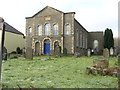
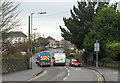
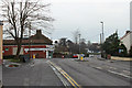
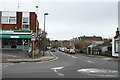
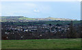
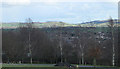
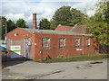
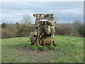
34 photos from this area
Area Information
Key information about the BS30 7SE including its size, population, and administrative classification.
- Area Type
- Postcode
- Area Size
- 1.1 hectares
- Population
- 1724
- Population Density
- 6255 people/km²
House Prices in BS30 7SE
28
Properties
£229,915
Average Sold Price
£72,750
Lowest Price
£415,000
Highest Price
Showing 28 properties
| Address | Type | Beds | Baths | Last Sale Price | Last Sale Date | |
|---|---|---|---|---|---|---|
| 54 Palmers Close, Barrs Court, BS30 7SE | Semi-detached | 3 | 1 | £342,500 | Feb 2024 | |
| 64 Palmers Close, Barrs Court, BS30 7SE | Detached | 3 | 1 | £390,000 | Oct 2023 | |
| 53 Palmers Close, Barrs Court, BS30 7SE | Retail | 3 | - | £350,000 | Jun 2022 | |
| 43 Palmers Close, Barrs Court, BS30 7SE | house | - | - | £415,000 | Oct 2021 | |
| 49 Palmers Close, Barrs Court, BS30 7SE | Semi-detached | 3 | 1 | £313,000 | Sep 2021 | |
| 41 Palmers Close, Barrs Court, BS30 7SE | house | - | - | £280,000 | May 2021 | |
| 45 Palmers Close, Barrs Court, BS30 7SE | Semi-detached | 3 | - | £315,000 | Feb 2020 | |
| 58 Palmers Close, Barrs Court, BS30 7SE | Detached | 3 | 1 | £300,000 | Nov 2018 | |
| 44 Palmers Close, Barrs Court, BS30 7SE | Semi-detached | 3 | 1 | £296,000 | Sep 2018 | |
| 55 Palmers Close, Barrs Court, BS30 7SE | Detached | 3 | 2 | £297,000 | May 2018 |
Page 1 of 3
Energy Efficiency in BS30 7SE
Amenities
Schools
| Rank | School | Type | Entry gender | Ages |
|---|
Explore more schools in this area
Go to Schools tabDemographics
Household Size
Family (3-5 people)
most common
Accommodation Type
Houses
most common
Tenure
84
majority
Ethnic Group
White
most common
Religion
N/A
most common
Household Composition
N/A
most common
Age
47
median
Adults (30-64 years)
most common
Household Deprivation
N/A
with no deprivation
NS-SEC
39
in Lower managerial occupations
Explore more demographic insights in this area
Go to Demographics tabPlanning
Planning Constraints
- Flood RiskPremium
- Ramsar Wetland SitesPremium
- Area of Outstanding Natural BeautyPremium
- Protected Nature ReservePremium
- Protected WoodlandPremium