Area Overview for BS30 6LN
Photos of BS30 6LN
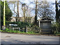
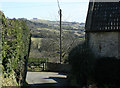
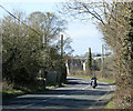
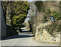
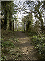
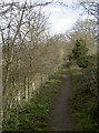
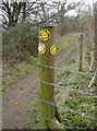
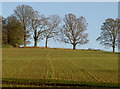
64 photos from this area
Area Information
Key information about the BS30 6LN including its size, population, and administrative classification.
- Area Type
- Postcode
- Area Size
- 26.8 hectares
- Population
- 2167
- Population Density
- 195 people/km²
House Prices in BS30 6LN
14
Properties
£481,417
Average Sold Price
£56,000
Lowest Price
£1,200,000
Highest Price
Showing 14 properties
| Address | Type | Beds | Baths | Last Sale Price | Last Sale Date | |
|---|---|---|---|---|---|---|
| Valley Farm, Bath Road, Bitton, BS30 6LN | Land | 4 | 2 | £1,200,000 | Apr 2025 | |
| 1, Swan Cottages, Bath Road, Bitton, BS30 6LN | house | - | - | £252,000 | Dec 2024 | |
| Valley Barn, Bath Road, Bitton, BS30 6LN | Semi-detached | 4 | 3 | £805,000 | Aug 2019 | |
| 2, Swan Cottages, Bath Road, Bitton, BS30 6LN | Detached | - | - | £250,000 | Oct 2016 | |
| Homelea, Bath Road, Bitton, BS30 6LN | Semi-detached | 5 | - | £325,500 | May 2004 | |
| 3, Swan Cottages, Bath Road, Bitton, BS30 6LN | Terraced | - | - | £56,000 | Jun 1996 | |
| Brook House, Bath Road, Bitton, BS30 6LN | Detached | 4 | - | - | - | |
| Brook Cottage, Bath Road, Bitton, BS30 6LN | Detached | - | - | - | - | |
| The Old Salt Box, Bath Road, Bitton, BS30 6LN | education | - | - | - | - | |
| Rose Cottage, Bath Road, Bitton, BS30 6LN | Semi-detached | - | - | - | - |
Page 1 of 2
Energy Efficiency in BS30 6LN
Amenities
Schools
| Rank | School | Type | Entry gender | Ages |
|---|
Explore more schools in this area
Go to Schools tabDemographics
Household Size
Two person
most common
Accommodation Type
Houses
most common
Tenure
71
majority
Ethnic Group
White
most common
Religion
N/A
most common
Household Composition
N/A
most common
Age
47
median
Adults (30-64 years)
most common
Household Deprivation
N/A
with no deprivation
NS-SEC
41
in Lower managerial occupations
Explore more demographic insights in this area
Go to Demographics tabPlanning
Planning Constraints
- Flood RiskPremium
- Ramsar Wetland SitesPremium
- Area of Outstanding Natural BeautyPremium
- Protected Nature ReservePremium
- Protected WoodlandPremium