Area Overview for BS30 5NE
Photos of BS30 5NE
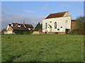
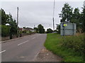
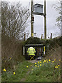
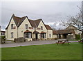
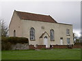
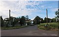
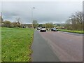
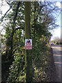
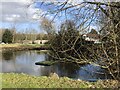
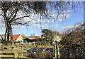
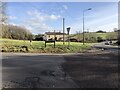
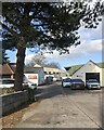
29 photos from this area
Area Information
Key information about the BS30 5NE including its size, population, and administrative classification.
- Area Type
- Postcode
- Area Size
- 60.5 hectares
- Population
- 1605
- Population Density
- 44 people/km²
House Prices in BS30 5NE
21
Properties
£450,521
Average Sold Price
£155,155
Lowest Price
£850,000
Highest Price
Showing 21 properties
| Address | Type | Beds | Baths | Last Sale Price | Last Sale Date | |
|---|---|---|---|---|---|---|
| 1 Chesley Hill, Siston, BS30 5NE | house | 3 | - | £645,000 | Jun 2021 | |
| Shrubbery Barn, Chesley Hill, Siston, BS30 5NE | Detached | 4 | 1 | £850,000 | Aug 2019 | |
| Shrubbery Lodge, Chesley Hill, Siston, BS30 5NE | Bungalow | 3 | 1 | £355,000 | Mar 2015 | |
| The Old Stables, Chesley Hill, Siston, BS30 5NE | Bungalow | - | - | £247,450 | May 2007 | |
| The Rosary, Chesley Hill, Siston, BS30 5NE | Detached | - | - | £155,155 | Mar 1997 | |
| Chesley Hill Farm, Chesley Hill, Siston, BS30 5NE | Land | 7 | 5 | - | - | |
| The Stables, Chesley Hill, Siston, BS30 5NE | Detached | 6 | - | - | - | |
| Powder Keg, Chesley Hill, Siston, BS30 5NE | Bungalow | 4 | 1 | - | - | |
| The Barn, Chesley Hill Farm, Chesley Hill, Siston, BS30 5NE | Semi-detached | 2 | 2 | - | - | |
| The Annexe, The Rosary, Chesley Hill, Siston, BS30 5NE | Semi-detached | - | - | - | - |
Page 1 of 3
Energy Efficiency in BS30 5NE
Amenities
Schools
| Rank | School | Type | Entry gender | Ages |
|---|
Explore more schools in this area
Go to Schools tabDemographics
Household Size
Two person
most common
Accommodation Type
Houses
most common
Tenure
80
majority
Ethnic Group
White
most common
Religion
N/A
most common
Household Composition
N/A
most common
Age
47
median
Adults (30-64 years)
most common
Household Deprivation
N/A
with no deprivation
NS-SEC
40
in Lower managerial occupations
Explore more demographic insights in this area
Go to Demographics tabPlanning
Planning Constraints
- Flood RiskPremium
- Ramsar Wetland SitesPremium
- Area of Outstanding Natural BeautyPremium
- Protected Nature ReservePremium
- Protected WoodlandPremium