Area Overview for BS26 2LH
Photos of BS26 2LH
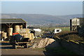
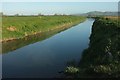
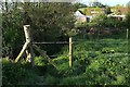
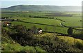
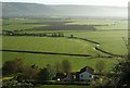
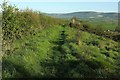

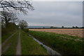
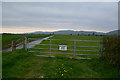

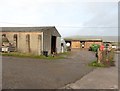
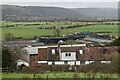
18 photos from this area
Area Information
Key information about the BS26 2LH including its size, population, and administrative classification.
- Area Type
- Postcode
- Area Size
- 4.4 km²
- Population
- 2346
- Population Density
- 180 people/km²
House Prices in BS26 2LH
21
Properties
£660,357
Average Sold Price
£120,000
Lowest Price
£1,225,000
Highest Price
Showing 21 properties
| Address | Type | Beds | Baths | Last Sale Price | Last Sale Date | |
|---|---|---|---|---|---|---|
| Brinscombe House, Brinscombe Lane, Weare, Axbridge, BS26 2LH | Detached | 4 | 2 | £840,000 | Nov 2025 | |
| Stream Farm, Brinscombe Lane, Weare, Axbridge, BS26 2LH | house | - | - | £925,000 | Feb 2025 | |
| Baytree Cottage, Brinscombe Lane, Weare, Axbridge, BS26 2LH | house | - | - | £750,000 | Jul 2017 | |
| Brinscombe Lane End Farm, Brinscombe Lane, Weare, Axbridge, BS26 2LH | house | 4 | - | £1,225,000 | Jun 2017 | |
| Twin Barns, Brinscombe Lane, Weare, Axbridge, BS26 2LH | house | - | - | £388,000 | Aug 2013 | |
| Yew Tree Cottage, Brinscombe Lane, Weare, Axbridge, BS26 2LH | Cottage | 4 | 2 | £374,500 | Aug 2010 | |
| Laurel Cottage, Brinscombe Lane, Weare, Axbridge, BS26 2LH | Semi-detached | 4 | 1 | £120,000 | Jul 2001 | |
| Elmfield House, Brinscombe Lane, Weare, Axbridge, BS26 2LH | house | 5 | 2 | - | - | |
| Toadshole, Brinscombe Lane, Weare, Axbridge, BS26 2LH | Semi-detached | - | - | - | - | |
| Bempstone Barn, Brinscombe Lane, Weare, Axbridge, BS26 2LH | Semi-detached | - | - | - | - |
Page 1 of 3
Energy Efficiency in BS26 2LH
Amenities
Schools
| Rank | School | Type | Entry gender | Ages |
|---|
Explore more schools in this area
Go to Schools tabDemographics
Household Size
Family (3-5 people)
most common
Accommodation Type
Houses
most common
Tenure
82
majority
Ethnic Group
White
most common
Religion
N/A
most common
Household Composition
N/A
most common
Age
47
median
Adults (30-64 years)
most common
Household Deprivation
N/A
with no deprivation
NS-SEC
39
in Lower managerial occupations
Explore more demographic insights in this area
Go to Demographics tabPlanning
Planning Constraints
- Flood RiskPremium
- Ramsar Wetland SitesPremium
- Area of Outstanding Natural BeautyPremium
- Protected Nature ReservePremium
- Protected WoodlandPremium