Area Overview for BS25 1JA
Photos of BS25 1JA
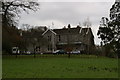
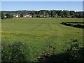
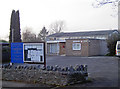
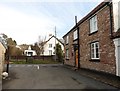
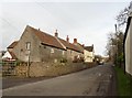

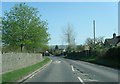
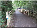
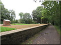
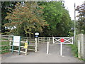
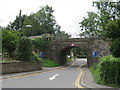

37 photos from this area
Area Information
Key information about the BS25 1JA including its size, population, and administrative classification.
- Area Type
- Postcode
- Area Size
- 2.2 hectares
- Population
- 1517
- Population Density
- 487 people/km²
House Prices in BS25 1JA
29
Properties
£334,841
Average Sold Price
£107,000
Lowest Price
£525,000
Highest Price
Showing 29 properties
| Address | Type | Beds | Baths | Last Sale Price | Last Sale Date | |
|---|---|---|---|---|---|---|
| 31 Sandford Road, Winscombe, BS25 1JA | Terraced | 3 | 1 | £440,000 | Feb 2025 | |
| 21 Sandford Road, Winscombe, BS25 1JA | Semi-detached | 3 | 1 | £322,000 | Jun 2023 | |
| 30A Sandford Road, Winscombe, BS25 1JA | Detached | 3 | 2 | £330,000 | Nov 2022 | |
| 15 Sandford Road, Winscombe, BS25 1JA | Semi-detached | 3 | 1 | £260,000 | Dec 2021 | |
| 32 Sandford Road, Winscombe, BS25 1JA | house | - | - | £320,000 | Apr 2021 | |
| 22 Sandford Road, Winscombe, BS25 1JA | Bungalow | - | - | £525,000 | Dec 2020 | |
| 18 Sandford Road, Winscombe, BS25 1JA | Detached | 4 | - | £520,000 | Jul 2020 | |
| 28 Sandford Road, Winscombe, BS25 1JA | Semi-detached | 5 | - | £347,500 | Oct 2019 | |
| 24 Sandford Road, Winscombe, BS25 1JA | Bungalow | 3 | 2 | £285,000 | May 2018 | |
| 23 Sandford Road, Winscombe, BS25 1JA | Semi-detached | 3 | - | £267,000 | Oct 2017 |
Page 1 of 3
Energy Efficiency in BS25 1JA
Amenities
Schools
| Rank | School | Type | Entry gender | Ages |
|---|
Explore more schools in this area
Go to Schools tabDemographics
Household Size
Two person
most common
Accommodation Type
Houses
most common
Tenure
90
majority
Ethnic Group
White
most common
Religion
N/A
most common
Household Composition
N/A
most common
Age
47
median
Adults (30-64 years)
most common
Household Deprivation
N/A
with no deprivation
NS-SEC
49
in Lower managerial occupations
Explore more demographic insights in this area
Go to Demographics tabPlanning
Planning Constraints
- Flood RiskPremium
- Ramsar Wetland SitesPremium
- Area of Outstanding Natural BeautyPremium
- Protected Nature ReservePremium
- Protected WoodlandPremium