Area Overview for BS25 1HE
Photos of BS25 1HE
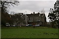
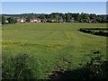
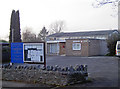
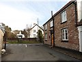
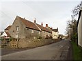

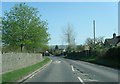
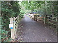
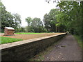

37 photos from this area
Area Information
Key information about the BS25 1HE including its size, population, and administrative classification.
- Area Type
- Postcode
- Area Size
- 9216 m²
- Population
- 1509
- Population Density
- 239 people/km²
House Prices in BS25 1HE
17
Properties
£139,813
Average Sold Price
£78,000
Lowest Price
£265,000
Highest Price
Showing 17 properties
| Address | Type | Beds | Baths | Last Sale Price | Last Sale Date | |
|---|---|---|---|---|---|---|
| 14 Rob Lynne Court, Winscombe, BS25 1HE | Flat | 2 | 1 | £152,000 | Oct 2025 | |
| 11 Rob Lynne Court, Winscombe, BS25 1HE | Flat | 2 | 1 | £137,000 | Jan 2022 | |
| 10 Rob Lynne Court, Winscombe, BS25 1HE | Flat | - | - | £147,500 | Jun 2018 | |
| 12 Rob Lynne Court, Winscombe, BS25 1HE | Flat | - | - | £126,000 | Nov 2015 | |
| 15 Rob Lynne Court, Winscombe, BS25 1HE | Flat | - | - | £130,000 | Apr 2014 | |
| 18 Rob Lynne Court, Winscombe, BS25 1HE | Detached | 6 | - | £265,000 | Nov 2008 | |
| 17 Rob Lynne Court, Winscombe, BS25 1HE | Flat | - | - | £83,000 | Feb 2006 | |
| 16 Rob Lynne Court, Winscombe, BS25 1HE | Flat | - | - | £78,000 | May 2002 | |
| 5 Rob Lynne Court, Winscombe, BS25 1HE | Flat | 2 | 1 | - | - | |
| 6 Rob Lynne Court, Winscombe, BS25 1HE | Flat | - | - | - | - |
Page 1 of 2
Energy Efficiency in BS25 1HE
Amenities
Schools
| Rank | School | Type | Entry gender | Ages |
|---|
Explore more schools in this area
Go to Schools tabDemographics
Household Size
Two person
most common
Accommodation Type
Houses
most common
Tenure
74
majority
Ethnic Group
White
most common
Religion
N/A
most common
Household Composition
N/A
most common
Age
47
median
Adults (30-64 years)
most common
Household Deprivation
N/A
with no deprivation
NS-SEC
43
in Lower managerial occupations
Explore more demographic insights in this area
Go to Demographics tabPlanning
Planning Constraints
- Flood RiskPremium
- Ramsar Wetland SitesPremium
- Area of Outstanding Natural BeautyPremium
- Protected Nature ReservePremium
- Protected WoodlandPremium