Area Overview for BS24 9SL
Photos of BS24 9SL
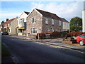
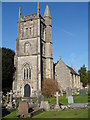
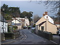
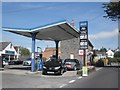
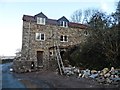
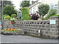
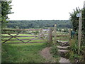
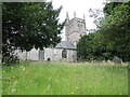
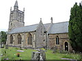
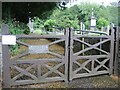
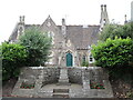
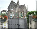
71 photos from this area
Area Information
Key information about the BS24 9SL including its size, population, and administrative classification.
- Area Type
- Postcode
- Area Size
- 1.8 hectares
- Population
- 1390
- Population Density
- 505 people/km²
House Prices in BS24 9SL
22
Properties
£317,246
Average Sold Price
£96,950
Lowest Price
£830,000
Highest Price
Showing 22 properties
| Address | Type | Beds | Baths | Last Sale Price | Last Sale Date | |
|---|---|---|---|---|---|---|
| Whitecross, 7 Church Lane, Hutton, BS24 9SL | Semi-detached | 2 | - | £325,000 | Aug 2025 | |
| The Rectory, 41 Church Lane, Hutton, BS24 9SL | Detached | 5 | 3 | £830,000 | May 2024 | |
| Meadowsgreen, 11 Church Lane, Hutton, BS24 9SL | house | 4 | - | £266,500 | Aug 2022 | |
| Woodside, 35 Church Lane, Hutton, BS24 9SL | house | 3 | 1 | £396,000 | Jun 2021 | |
| Trewern, 27 Church Lane, Hutton, BS24 9SL | house | - | - | £425,000 | Feb 2021 | |
| St Hilary, 25 Church Lane, Hutton, BS24 9SL | Detached | 3 | 2 | £401,000 | Feb 2021 | |
| St Michael, 21 Church Lane, Hutton, BS24 9SL | house | - | - | £325,000 | Apr 2019 | |
| Apple Blossom, 9 Church Lane, Hutton, BS24 9SL | house | - | - | £230,000 | Mar 2016 | |
| Glebelands, 45 Church Lane, Hutton, BS24 9SL | Detached | 4 | - | £362,000 | May 2015 | |
| The Croft, 37 Church Lane, Hutton, BS24 9SL | Detached | - | - | £215,000 | Dec 2002 |
Page 1 of 3
Energy Efficiency in BS24 9SL
Amenities
Schools
| Rank | School | Type | Entry gender | Ages |
|---|
Explore more schools in this area
Go to Schools tabDemographics
Household Size
Two person
most common
Accommodation Type
Houses
most common
Tenure
87
majority
Ethnic Group
White
most common
Religion
N/A
most common
Household Composition
N/A
most common
Age
47
median
Adults (30-64 years)
most common
Household Deprivation
N/A
with no deprivation
NS-SEC
38
in Lower managerial occupations
Explore more demographic insights in this area
Go to Demographics tabPlanning
Planning Constraints
- Flood RiskPremium
- Ramsar Wetland SitesPremium
- Area of Outstanding Natural BeautyPremium
- Protected Nature ReservePremium
- Protected WoodlandPremium