Area Overview for BS24 9RX
Photos of BS24 9RX
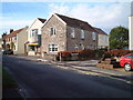
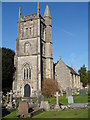
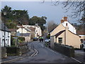
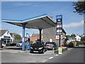
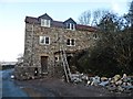
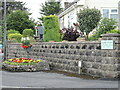
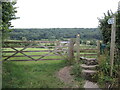
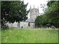
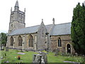
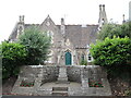
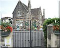
71 photos from this area
Area Information
Key information about the BS24 9RX including its size, population, and administrative classification.
- Area Type
- Postcode
- Area Size
- 8717 m²
- Population
- 1390
- Population Density
- 505 people/km²
House Prices in BS24 9RX
15
Properties
£242,900
Average Sold Price
£142,000
Lowest Price
£330,000
Highest Price
Showing 15 properties
| Address | Type | Beds | Baths | Last Sale Price | Last Sale Date | |
|---|---|---|---|---|---|---|
| 3 Orchard Road, Hutton, BS24 9RX | Detached | 2 | 1 | £330,000 | Jul 2025 | |
| 5 Orchard Road, Hutton, BS24 9RX | Bungalow | 2 | 1 | £318,000 | Apr 2025 | |
| 8 Orchard Road, Hutton, BS24 9RX | Bungalow | 2 | - | £276,000 | Mar 2024 | |
| 6 Orchard Road, Hutton, BS24 9RX | Bungalow | - | - | £300,000 | Apr 2021 | |
| 13 Orchard Road, Hutton, BS24 9RX | Bungalow | - | - | £285,000 | Feb 2019 | |
| 15 Orchard Road, Hutton, BS24 9RX | Bungalow | 3 | 1 | £262,500 | Jan 2016 | |
| 1 Orchard Road, Hutton, BS24 9RX | Bungalow | - | - | £200,500 | Sep 2011 | |
| 4 Orchard Road, Hutton, BS24 9RX | Detached | - | - | £155,000 | Jan 2004 | |
| 11 Orchard Road, Hutton, BS24 9RX | Detached | - | - | £160,000 | Sep 2003 | |
| 2 Orchard Road, Hutton, BS24 9RX | Detached | - | - | £142,000 | Jan 2003 |
Page 1 of 2
Energy Efficiency in BS24 9RX
Amenities
Schools
| Rank | School | Type | Entry gender | Ages |
|---|
Explore more schools in this area
Go to Schools tabDemographics
Household Size
Two person
most common
Accommodation Type
Houses
most common
Tenure
87
majority
Ethnic Group
White
most common
Religion
N/A
most common
Household Composition
N/A
most common
Age
47
median
Adults (30-64 years)
most common
Household Deprivation
N/A
with no deprivation
NS-SEC
38
in Lower managerial occupations
Explore more demographic insights in this area
Go to Demographics tabPlanning
Planning Constraints
- Flood RiskPremium
- Ramsar Wetland SitesPremium
- Area of Outstanding Natural BeautyPremium
- Protected Nature ReservePremium
- Protected WoodlandPremium