Area Overview for BS24 9RH
Photos of BS24 9RH
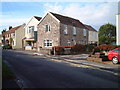
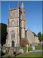
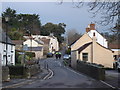
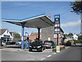
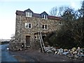
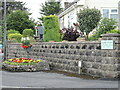
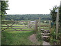
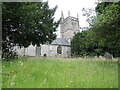
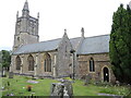
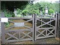
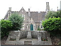
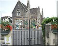
71 photos from this area
Area Information
Key information about the BS24 9RH including its size, population, and administrative classification.
- Area Type
- Postcode
- Area Size
- 1.2 hectares
- Population
- 1347
- Population Density
- 1220 people/km²
House Prices in BS24 9RH
31
Properties
£214,950
Average Sold Price
£58,000
Lowest Price
£340,000
Highest Price
Showing 31 properties
| Address | Type | Beds | Baths | Last Sale Price | Last Sale Date | |
|---|---|---|---|---|---|---|
| 32 Farm Road, Hutton, BS24 9RH | Semi-detached | 3 | - | £270,000 | Mar 2025 | |
| 34 Farm Road, Hutton, BS24 9RH | Bungalow | 3 | 1 | £290,000 | Nov 2024 | |
| 8 Farm Road, Hutton, BS24 9RH | Semi-detached | 3 | 1 | £335,000 | Feb 2023 | |
| 1 Farm Road, Hutton, BS24 9RH | Terraced | 3 | 1 | £332,000 | Jan 2023 | |
| 20 Farm Road, Hutton, BS24 9RH | house | 3 | 1 | £320,000 | Aug 2022 | |
| 6 Farm Road, Hutton, BS24 9RH | Semi-detached | 3 | 2 | £295,000 | Mar 2022 | |
| 7 Farm Road, Hutton, BS24 9RH | Semi-detached | 3 | 1 | £249,000 | Apr 2021 | |
| 2A Farm Road, Hutton, BS24 9RH | Terraced | 2 | 1 | £213,500 | Dec 2019 | |
| 2 Farm Road, Hutton, BS24 9RH | house | - | - | £287,500 | Nov 2018 | |
| Coppenhall, Farm Road, Hutton, BS24 9RH | Bungalow | 4 | 3 | £330,000 | Mar 2016 |
Page 1 of 4
Energy Efficiency in BS24 9RH
Amenities
Schools
| Rank | School | Type | Entry gender | Ages |
|---|
Explore more schools in this area
Go to Schools tabDemographics
Household Size
Two person
most common
Accommodation Type
Houses
most common
Tenure
90
majority
Ethnic Group
White
most common
Religion
N/A
most common
Household Composition
N/A
most common
Age
47
median
Elderly (65+ years)
most common
Household Deprivation
N/A
with no deprivation
NS-SEC
32
in Lower managerial occupations
Explore more demographic insights in this area
Go to Demographics tabPlanning
Planning Constraints
- Flood RiskPremium
- Ramsar Wetland SitesPremium
- Area of Outstanding Natural BeautyPremium
- Protected Nature ReservePremium
- Protected WoodlandPremium