Area Overview for BS24 6RD
Photos of BS24 6RD
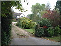
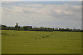

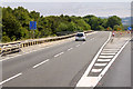

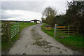
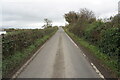
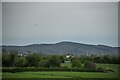
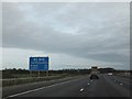
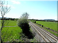
34 photos from this area
Area Information
Key information about the BS24 6RD including its size, population, and administrative classification.
- Area Type
- Postcode
- Area Size
- 83.4 hectares
- Population
- 1767
- Population Density
- 123 people/km²
House Prices in BS24 6RD
16
Properties
£401,375
Average Sold Price
£178,000
Lowest Price
£630,000
Highest Price
Showing 16 properties
| Address | Type | Beds | Baths | Last Sale Price | Last Sale Date | |
|---|---|---|---|---|---|---|
| Jasmine Cottage, Bristol Road, Hewish, BS24 6RD | Semi-detached | 2 | 1 | £178,000 | Feb 2024 | |
| Willow Cottage, Bristol Road, Hewish, BS24 6RD | Semi-detached | 3 | 1 | £212,500 | Jul 2023 | |
| Treefields, Bristol Road, Hewish, BS24 6RD | house | 4 | - | £585,000 | Nov 2009 | |
| The Round Pond, Bristol Road, Hewish, BS24 6RD | Semi-detached | 1 | 1 | £630,000 | Mar 2006 | |
| Haybow Farm, Haybow, Hewish, BS24 6RD | Bungalow | 8 | 5 | - | - | |
| Darsham House, Bristol Road, Hewish, BS24 6RD | Bungalow | 3 | - | - | - | |
| Caravan 1, Willow Cottage, Bristol Road, Hewish, BS24 6RD | Mobile Home | - | - | - | - | |
| Rose Cottage, Bristol Road, Hewish, BS24 6RD | house | - | - | - | - | |
| Sunywell, Bristol Road, Hewish, BS24 6RD | Detached | - | - | - | - | |
| Riverside, Haybow, Hewish, BS24 6RD | Mobile Home | - | - | - | - |
Page 1 of 2
Energy Efficiency in BS24 6RD
Amenities
Schools
| Rank | School | Type | Entry gender | Ages |
|---|
Explore more schools in this area
Go to Schools tabDemographics
Household Size
Family (3-5 people)
most common
Accommodation Type
Houses
most common
Tenure
79
majority
Ethnic Group
White
most common
Religion
N/A
most common
Household Composition
N/A
most common
Age
47
median
Adults (30-64 years)
most common
Household Deprivation
N/A
with no deprivation
NS-SEC
39
in Lower managerial occupations
Explore more demographic insights in this area
Go to Demographics tabPlanning
Planning Constraints
- Flood RiskPremium
- Ramsar Wetland SitesPremium
- Area of Outstanding Natural BeautyPremium
- Protected Nature ReservePremium
- Protected WoodlandPremium