Area Overview for BS14 8SN
Photos of BS14 8SN
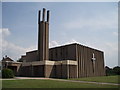
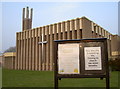
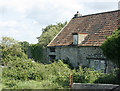
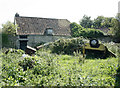
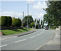
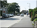
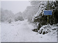
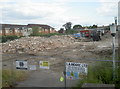
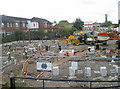
90 photos from this area
Area Information
Key information about the BS14 8SN including its size, population, and administrative classification.
- Area Type
- Postcode
- Area Size
- 5131 m²
- Population
- 1624
- Population Density
- 4671 people/km²
House Prices in BS14 8SN
16
Properties
£266,050
Average Sold Price
£148,000
Lowest Price
£440,000
Highest Price
Showing 16 properties
| Address | Type | Beds | Baths | Last Sale Price | Last Sale Date | |
|---|---|---|---|---|---|---|
| 20 Battson Road, Stockwood, Bristol, BS14 8SN | Detached | 5 | 2 | £440,000 | Jun 2025 | |
| 6 Battson Road, Stockwood, Bristol, BS14 8SN | Semi-detached | 3 | 2 | £356,000 | Jun 2024 | |
| 24 Battson Road, Stockwood, Bristol, BS14 8SN | house | 3 | 1 | £275,000 | Jun 2020 | |
| 14 Battson Road, Stockwood, Bristol, BS14 8SN | Semi-detached | 3 | - | £245,000 | Jul 2019 | |
| 18 Battson Road, Stockwood, Bristol, BS14 8SN | Semi-detached | 3 | - | £256,000 | Jan 2019 | |
| 2 Battson Road, Stockwood, Bristol, BS14 8SN | Detached | 5 | 1 | £350,000 | Sep 2018 | |
| 16 Battson Road, Stockwood, Bristol, BS14 8SN | Semi-detached | 3 | - | £235,000 | Apr 2017 | |
| 30 Battson Road, Stockwood, Bristol, BS14 8SN | Semi-detached | 3 | 1 | £172,500 | Jul 2013 | |
| 26 Battson Road, Stockwood, Bristol, BS14 8SN | house | - | - | £183,000 | Nov 2009 | |
| 12 Battson Road, Stockwood, Bristol, BS14 8SN | Terraced | - | - | £148,000 | Jul 2005 |
Page 1 of 2
Energy Efficiency in BS14 8SN
Amenities
Schools
| Rank | School | Type | Entry gender | Ages |
|---|
Explore more schools in this area
Go to Schools tabDemographics
Household Size
Family (3-5 people)
most common
Accommodation Type
Houses
most common
Tenure
81
majority
Ethnic Group
White
most common
Religion
N/A
most common
Household Composition
N/A
most common
Age
47
median
Adults (30-64 years)
most common
Household Deprivation
N/A
with no deprivation
NS-SEC
25
in Lower managerial occupations
Explore more demographic insights in this area
Go to Demographics tabPlanning
Planning Constraints
- Flood RiskPremium
- Ramsar Wetland SitesPremium
- Area of Outstanding Natural BeautyPremium
- Protected Nature ReservePremium
- Protected WoodlandPremium