Area Overview for BS13 9LW
Photos of BS13 9LW
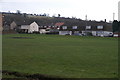
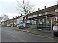
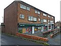
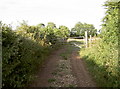
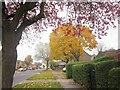
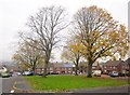
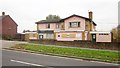
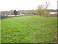
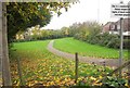
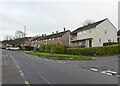
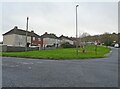
16 photos from this area
Area Information
Key information about the BS13 9LW including its size, population, and administrative classification.
- Area Type
- Postcode
- Area Size
- 8221 m²
- Population
- 1628
- Population Density
- 5238 people/km²
House Prices in BS13 9LW
9
Properties
£199,750
Average Sold Price
£125,000
Lowest Price
£330,000
Highest Price
Showing 9 properties
| Address | Type | Beds | Baths | Last Sale Price | Last Sale Date | |
|---|---|---|---|---|---|---|
| 531 Bishport Avenue, Hartcliffe, Bristol, BS13 9LW | Semi-detached | 3 | 2 | £330,000 | Feb 2024 | |
| 527 Bishport Avenue, Hartcliffe, Bristol, BS13 9LW | Detached | 3 | 1 | £183,000 | Jul 2015 | |
| 533 Bishport Avenue, Hartcliffe, Bristol, BS13 9LW | Semi-detached | 3 | - | £161,000 | Mar 2014 | |
| 529 Bishport Avenue, Hartcliffe, Bristol, BS13 9LW | house | - | - | £125,000 | Jan 2011 | |
| 525 Bishport Avenue, Hartcliffe, Bristol, BS13 9LW | Semi-detached | 3 | 1 | - | - | |
| 535 Bishport Avenue, Hartcliffe, Bristol, BS13 9LW | Retail | 3 | - | - | - | |
| 537 Bishport Avenue, Hartcliffe, Bristol, BS13 9LW | Semi-detached | - | - | - | - | |
| 521 Bishport Avenue, Hartcliffe, Bristol, BS13 9LW | Terraced | - | - | - | - | |
| 523 Bishport Avenue, Hartcliffe, Bristol, BS13 9LW | Terraced | - | - | - | - |
Energy Efficiency in BS13 9LW
Amenities
Schools
| Rank | School | Type | Entry gender | Ages |
|---|
Explore more schools in this area
Go to Schools tabDemographics
Household Size
Family (3-5 people)
most common
Accommodation Type
Houses
most common
Tenure
49
majority
Ethnic Group
White
most common
Religion
N/A
most common
Household Composition
N/A
most common
Age
47
median
Adults (30-64 years)
most common
Household Deprivation
N/A
with no deprivation
NS-SEC
16
in Lower managerial occupations
Explore more demographic insights in this area
Go to Demographics tabPlanning
Planning Constraints
- Flood RiskPremium
- Ramsar Wetland SitesPremium
- Area of Outstanding Natural BeautyPremium
- Protected Nature ReservePremium
- Protected WoodlandPremium