Area Overview for BS13 9EJ
Photos of BS13 9EJ
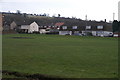
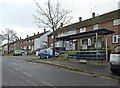
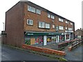
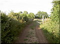
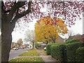
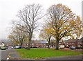
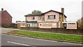
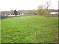
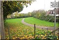
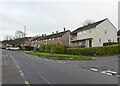
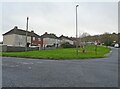
16 photos from this area
Area Information
Key information about the BS13 9EJ including its size, population, and administrative classification.
- Area Type
- Postcode
- Area Size
- 1.7 hectares
- Population
- 1392
- Population Density
- 3546 people/km²
House Prices in BS13 9EJ
75
Properties
£144,062
Average Sold Price
£40,000
Lowest Price
£272,000
Highest Price
Showing 75 properties
| Address | Type | Beds | Baths | Last Sale Price | Last Sale Date | |
|---|---|---|---|---|---|---|
| 670 Bishport Avenue, Hartcliffe, Bristol, BS13 9EJ | Terraced | 3 | 1 | £255,000 | May 2024 | |
| 648 Bishport Avenue, Hartcliffe, Bristol, BS13 9EJ | house | - | - | £150,000 | Jun 2023 | |
| 712 Bishport Avenue, Hartcliffe, Bristol, BS13 9EJ | Terraced | 3 | 1 | £272,000 | Feb 2023 | |
| 644 Bishport Avenue, Hartcliffe, Bristol, BS13 9EJ | house | - | - | £105,000 | Feb 2021 | |
| 660 Bishport Avenue, Hartcliffe, Bristol, BS13 9EJ | Flat | 2 | 1 | £119,995 | Aug 2018 | |
| 654 Bishport Avenue, Hartcliffe, Bristol, BS13 9EJ | house | 3 | - | £152,500 | Dec 2015 | |
| 672 Bishport Avenue, Hartcliffe, Bristol, BS13 9EJ | Semi-detached | - | - | £40,000 | Dec 2002 | |
| 650 Bishport Avenue, Hartcliffe, Bristol, BS13 9EJ | Terraced | - | - | £58,000 | May 2000 | |
| 658 Bishport Avenue, Hartcliffe, Bristol, BS13 9EJ | Flat | 2 | 1 | - | - | |
| Flat 2, 638 Bishport Avenue, Hartcliffe, Bristol, BS13 9EJ | Flat | 1 | 1 | - | - |
Page 1 of 8
Energy Efficiency in BS13 9EJ
Amenities
Schools
| Rank | School | Type | Entry gender | Ages |
|---|
Explore more schools in this area
Go to Schools tabDemographics
Household Size
One person
most common
Accommodation Type
Houses
most common
Tenure
48
majority
Ethnic Group
White
most common
Religion
N/A
most common
Household Composition
N/A
most common
Age
47
median
Adults (30-64 years)
most common
Household Deprivation
N/A
with no deprivation
NS-SEC
16
in Lower managerial occupations
Explore more demographic insights in this area
Go to Demographics tabPlanning
Planning Constraints
- Flood RiskPremium
- Ramsar Wetland SitesPremium
- Area of Outstanding Natural BeautyPremium
- Protected Nature ReservePremium
- Protected WoodlandPremium