Area Overview for BS10 6JE
Photos of BS10 6JE
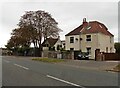
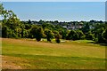
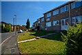
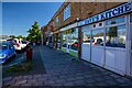
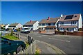
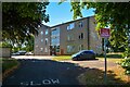
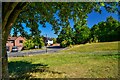
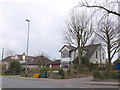
24 photos from this area
Area Information
Key information about the BS10 6JE including its size, population, and administrative classification.
- Area Type
- Postcode
- Area Size
- 1.2 hectares
- Population
- 1402
- Population Density
- 1838 people/km²
House Prices in BS10 6JE
26
Properties
£165,800
Average Sold Price
£46,000
Lowest Price
£295,250
Highest Price
Showing 26 properties
| Address | Type | Beds | Baths | Last Sale Price | Last Sale Date | |
|---|---|---|---|---|---|---|
| 21 Rockstowes Way, Southmead, Bristol, BS10 6JE | Terraced | 2 | 1 | £245,000 | Dec 2024 | |
| 17 Rockstowes Way, Southmead, Bristol, BS10 6JE | Terraced | 1 | 1 | £217,000 | May 2024 | |
| 15 Rockstowes Way, Southmead, Bristol, BS10 6JE | Retail | 2 | 1 | £295,250 | Jun 2022 | |
| 10 Rockstowes Way, Southmead, Bristol, BS10 6JE | Terraced | 2 | 1 | £245,000 | Mar 2022 | |
| 13 Rockstowes Way, Southmead, Bristol, BS10 6JE | Semi-detached | 3 | 1 | £267,500 | Jul 2021 | |
| 14 Rockstowes Way, Southmead, Bristol, BS10 6JE | Flat | - | - | £154,000 | Feb 2021 | |
| 5 Rockstowes Way, Southmead, Bristol, BS10 6JE | Terraced | 2 | 1 | £200,000 | Feb 2020 | |
| 20 Rockstowes Way, Southmead, Bristol, BS10 6JE | Terraced | 2 | 1 | £219,950 | Jul 2018 | |
| 16 Rockstowes Way, Southmead, Bristol, BS10 6JE | Terraced | 2 | 1 | £190,000 | Feb 2016 | |
| 2 Rockstowes Way, Southmead, Bristol, BS10 6JE | Semi-detached | 3 | - | £195,000 | Dec 2015 |
Page 1 of 3
Energy Efficiency in BS10 6JE
Amenities
Schools
| Rank | School | Type | Entry gender | Ages |
|---|
Explore more schools in this area
Go to Schools tabDemographics
Household Size
One person
most common
Accommodation Type
Houses
most common
Tenure
80
majority
Ethnic Group
White
most common
Religion
N/A
most common
Household Composition
N/A
most common
Age
47
median
Adults (30-64 years)
most common
Household Deprivation
N/A
with no deprivation
NS-SEC
36
in Lower managerial occupations
Explore more demographic insights in this area
Go to Demographics tabPlanning
Planning Constraints
- Flood RiskPremium
- Ramsar Wetland SitesPremium
- Area of Outstanding Natural BeautyPremium
- Protected Nature ReservePremium
- Protected WoodlandPremium