Area Overview for BH9 3PF
Photos of BH9 3PF
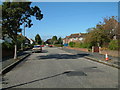
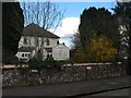
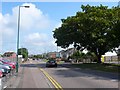
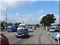
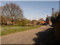
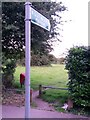
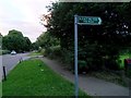
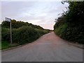
86 photos from this area
Area Information
Key information about the BH9 3PF including its size, population, and administrative classification.
- Area Type
- Postcode
- Area Size
- 4952 m²
- Population
- 1748
- Population Density
- 5780 people/km²
House Prices in BH9 3PF
16
Properties
£227,108
Average Sold Price
£94,950
Lowest Price
£314,950
Highest Price
Showing 16 properties
| Address | Type | Beds | Baths | Last Sale Price | Last Sale Date | |
|---|---|---|---|---|---|---|
| 30 Stratton Road, Bournemouth, BH9 3PF | house | - | - | £314,950 | Nov 2020 | |
| 26 Stratton Road, Bournemouth, BH9 3PF | Semi-detached | 3 | 1 | £300,000 | Nov 2019 | |
| 32 Stratton Road, Bournemouth, BH9 3PF | Semi-detached | 3 | 1 | £295,000 | Aug 2019 | |
| 36 Stratton Road, Bournemouth, BH9 3PF | Semi-detached | 3 | 1 | £280,000 | Feb 2017 | |
| 28 Stratton Road, Bournemouth, BH9 3PF | Semi-detached | 3 | - | £230,000 | May 2014 | |
| 34 Stratton Road, Bournemouth, BH9 3PF | Semi-detached | 3 | - | £200,000 | Dec 2012 | |
| 24 Stratton Road, Bournemouth, BH9 3PF | Semi-detached | - | - | £221,000 | Nov 2007 | |
| 50 Stratton Road, Bournemouth, BH9 3PF | Detached | 4 | 1 | £265,000 | May 2007 | |
| 38 Stratton Road, Bournemouth, BH9 3PF | house | - | - | £152,000 | May 2006 | |
| 22 Stratton Road, Bournemouth, BH9 3PF | Semi-detached | - | - | £192,500 | Aug 2005 |
Page 1 of 2
Energy Efficiency in BH9 3PF
Amenities
Schools
| Rank | School | Type | Entry gender | Ages |
|---|
Explore more schools in this area
Go to Schools tabDemographics
Household Size
Family (3-5 people)
most common
Accommodation Type
Houses
most common
Tenure
70
majority
Ethnic Group
White
most common
Religion
N/A
most common
Household Composition
N/A
most common
Age
47
median
Adults (30-64 years)
most common
Household Deprivation
N/A
with no deprivation
NS-SEC
33
in Lower managerial occupations
Explore more demographic insights in this area
Go to Demographics tabPlanning
Planning Constraints
- Flood RiskPremium
- Ramsar Wetland SitesPremium
- Area of Outstanding Natural BeautyPremium
- Protected Nature ReservePremium
- Protected WoodlandPremium