Area Overview for BH9 3AN
Photos of BH9 3AN
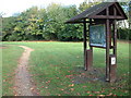
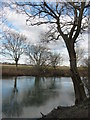
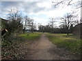
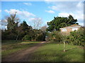
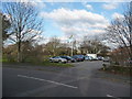
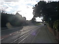

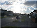
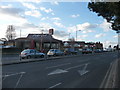
100 photos from this area
Area Information
Key information about the BH9 3AN including its size, population, and administrative classification.
- Area Type
- Postcode
- Area Size
- 5962 m²
- Population
- Not available
- Population Density
- Not available
House Prices in BH9 3AN
20
Properties
£274,933
Average Sold Price
£168,000
Lowest Price
£440,000
Highest Price
Showing 20 properties
| Address | Type | Beds | Baths | Last Sale Price | Last Sale Date | |
|---|---|---|---|---|---|---|
| 53 Redbreast Road, Bournemouth, BH9 3AN | Semi-detached | 2 | 1 | £360,000 | Feb 2025 | |
| 61 Redbreast Road, Bournemouth, BH9 3AN | Detached | 3 | 1 | £440,000 | Oct 2024 | |
| 77 Redbreast Road, Bournemouth, BH9 3AN | Detached | 3 | 1 | £430,000 | Feb 2021 | |
| 55 Redbreast Road, Bournemouth, BH9 3AN | Flat | 2 | - | £174,000 | Feb 2021 | |
| 75 Redbreast Road, Bournemouth, BH9 3AN | house | - | - | £435,000 | Jul 2018 | |
| 87 Redbreast Road, Bournemouth, BH9 3AN | Bungalow | 3 | 1 | £290,000 | Oct 2016 | |
| 57 Redbreast Road, Bournemouth, BH9 3AN | house | 3 | 1 | £285,000 | Jun 2016 | |
| 55A Redbreast Road, Bournemouth, BH9 3AN | Flat | - | - | £172,500 | Apr 2015 | |
| 73 Redbreast Road, Bournemouth, BH9 3AN | Detached | 3 | 1 | £242,000 | Jul 2009 | |
| 85 Redbreast Road, Bournemouth, BH9 3AN | house | - | - | £273,000 | Sep 2007 |
Page 1 of 2
Energy Efficiency in BH9 3AN
Amenities
Schools
| Rank | School | Type | Entry gender | Ages |
|---|
Explore more schools in this area
Go to Schools tabDemographics
Household Size
Family (3-5 people)
most common
Accommodation Type
Houses
most common
Tenure
81
majority
Ethnic Group
White
most common
Religion
N/A
most common
Household Composition
N/A
most common
Age
47
median
Adults (30-64 years)
most common
Household Deprivation
N/A
with no deprivation
NS-SEC
37
in Lower managerial occupations
Explore more demographic insights in this area
Go to Demographics tabPlanning
Planning Constraints
- Flood RiskPremium
- Ramsar Wetland SitesPremium
- Area of Outstanding Natural BeautyPremium
- Protected Nature ReservePremium
- Protected WoodlandPremium