Area Overview for BH9 2UW
Photos of BH9 2UW
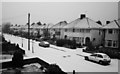
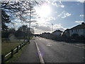
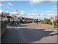
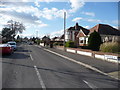
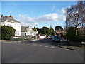
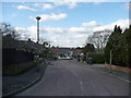
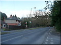
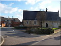
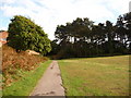
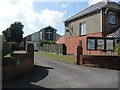
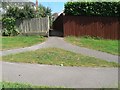
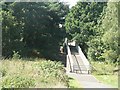
100 photos from this area
Area Information
Key information about the BH9 2UW including its size, population, and administrative classification.
- Area Type
- Postcode
- Area Size
- 4243 m²
- Population
- Not available
- Population Density
- Not available
House Prices in BH9 2UW
16
Properties
£268,922
Average Sold Price
£151,500
Lowest Price
£400,000
Highest Price
Showing 16 properties
| Address | Type | Beds | Baths | Last Sale Price | Last Sale Date | |
|---|---|---|---|---|---|---|
| 41 The Avenue, Bournemouth, BH9 2UW | Detached | 4 | - | £182,953 | Aug 2024 | |
| 47 The Avenue, Bournemouth, BH9 2UW | Flat | - | - | £292,000 | Apr 2024 | |
| 46A The Avenue, Bournemouth, BH9 2UW | Maisonette | 3 | - | £242,000 | Dec 2022 | |
| 45 The Avenue, Bournemouth, BH9 2UW | Detached | 3 | 2 | £400,000 | Jun 2021 | |
| 37 The Avenue, Bournemouth, BH9 2UW | Flat | 3 | 1 | £255,000 | Aug 2020 | |
| 43 The Avenue, Bournemouth, BH9 2UW | house | 1 | 2 | £359,000 | Oct 2015 | |
| 46 The Avenue, Bournemouth, BH9 2UW | Flat | - | - | £151,500 | Jan 2004 | |
| 44 The Avenue, Bournemouth, BH9 2UW | Flat | - | - | - | - | |
| 44A The Avenue, Bournemouth, BH9 2UW | Flat | - | - | - | - | |
| Stepping Stones Day Opportunities, 40 The Avenue, Bournemouth, BH9 2UW | commercial | - | - | - | - |
Page 1 of 2
Energy Efficiency in BH9 2UW
Amenities
Schools
| Rank | School | Type | Entry gender | Ages |
|---|
Explore more schools in this area
Go to Schools tabDemographics
Household Size
Family (3-5 people)
most common
Accommodation Type
Houses
most common
Tenure
83
majority
Ethnic Group
White
most common
Religion
N/A
most common
Household Composition
N/A
most common
Age
47
median
Adults (30-64 years)
most common
Household Deprivation
N/A
with no deprivation
NS-SEC
41
in Lower managerial occupations
Explore more demographic insights in this area
Go to Demographics tabPlanning
Planning Constraints
- Flood RiskPremium
- Ramsar Wetland SitesPremium
- Area of Outstanding Natural BeautyPremium
- Protected Nature ReservePremium
- Protected WoodlandPremium