Area Overview for BH8 0AF
Photos of BH8 0AF
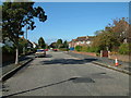
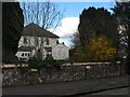
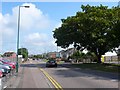
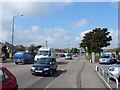
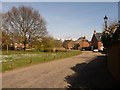
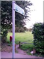
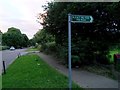
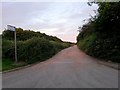
86 photos from this area
Area Information
Key information about the BH8 0AF including its size, population, and administrative classification.
- Area Type
- Postcode
- Area Size
- 8957 m²
- Population
- 1113
- Population Density
- 674 people/km²
House Prices in BH8 0AF
19
Properties
£258,015
Average Sold Price
£100,000
Lowest Price
£519,000
Highest Price
Showing 19 properties
| Address | Type | Beds | Baths | Last Sale Price | Last Sale Date | |
|---|---|---|---|---|---|---|
| 19 Willow Mead, Bournemouth, BH8 0AF | house | 3 | - | £300,000 | Dec 2016 | |
| 14 Willow Mead, Bournemouth, BH8 0AF | house | 4 | - | £367,500 | Sep 2015 | |
| 2 Willow Mead, Bournemouth, BH8 0AF | Semi-detached | 3 | 2 | £302,500 | May 2015 | |
| 11 Willow Mead, Bournemouth, BH8 0AF | Detached | 3 | - | £519,000 | Dec 2014 | |
| 1 Willow Mead, Bournemouth, BH8 0AF | Semi-detached | 3 | 1 | £330,000 | Aug 2010 | |
| 17 Willow Mead, Bournemouth, BH8 0AF | house | - | - | £213,000 | Oct 2009 | |
| 16 Willow Mead, Bournemouth, BH8 0AF | Bungalow | - | - | £260,000 | May 2008 | |
| 6 Willow Mead, Bournemouth, BH8 0AF | Detached | - | - | £250,000 | Nov 2003 | |
| 18 Willow Mead, Bournemouth, BH8 0AF | Terraced | 1 | 1 | £100,000 | Jan 2003 | |
| 15 Willow Mead, Bournemouth, BH8 0AF | Terraced | - | - | £190,000 | Jan 2003 |
Page 1 of 2
Energy Efficiency in BH8 0AF
Amenities
Schools
| Rank | School | Type | Entry gender | Ages |
|---|
Explore more schools in this area
Go to Schools tabDemographics
Household Size
Two person
most common
Accommodation Type
Houses
most common
Tenure
70
majority
Ethnic Group
White
most common
Religion
N/A
most common
Household Composition
N/A
most common
Age
47
median
Adults (30-64 years)
most common
Household Deprivation
N/A
with no deprivation
NS-SEC
36
in Lower managerial occupations
Explore more demographic insights in this area
Go to Demographics tabPlanning
Planning Constraints
- Flood RiskPremium
- Ramsar Wetland SitesPremium
- Area of Outstanding Natural BeautyPremium
- Protected Nature ReservePremium
- Protected WoodlandPremium