Area Overview for BH8 0AE
Photos of BH8 0AE
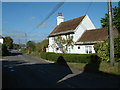
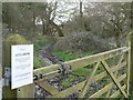
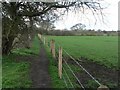
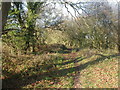
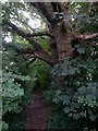

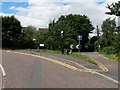
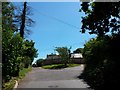
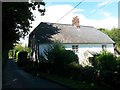
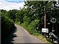
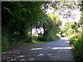
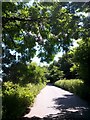
52 photos from this area
Area Information
Key information about the BH8 0AE including its size, population, and administrative classification.
- Area Type
- Postcode
- Area Size
- 5.4 hectares
- Population
- 1113
- Population Density
- 674 people/km²
House Prices in BH8 0AE
21
Properties
£454,688
Average Sold Price
£216,000
Lowest Price
£623,000
Highest Price
Showing 21 properties
| Address | Type | Beds | Baths | Last Sale Price | Last Sale Date | |
|---|---|---|---|---|---|---|
| 239 Broadway Lane, Bournemouth, BH8 0AE | house | - | - | £623,000 | May 2022 | |
| 215 Broadway Lane, Bournemouth, BH8 0AE | Bungalow | 2 | 1 | £591,000 | Apr 2020 | |
| 231 Broadway Lane, Bournemouth, BH8 0AE | Semi-detached | 4 | 2 | £475,000 | Oct 2017 | |
| 228 Broadway Lane, Bournemouth, BH8 0AE | Detached | - | - | £537,500 | Jul 2015 | |
| 230 Broadway Lane, Bournemouth, BH8 0AE | house | - | - | £425,000 | Nov 2010 | |
| 211 Broadway Lane, Bournemouth, BH8 0AE | Detached | - | - | £355,000 | Mar 2007 | |
| 229 Broadway Lane, Bournemouth, BH8 0AE | house | - | - | £415,000 | Oct 2006 | |
| 219 Broadway Lane, Bournemouth, BH8 0AE | Semi-detached | - | - | £216,000 | Sep 2002 | |
| The Old Piggery, 232 Broadway Lane, Bournemouth, BH8 0AE | Semi-detached | 5 | 4 | - | - | |
| 213 Broadway Lane, Bournemouth, BH8 0AE | Semi-detached | 4 | 2 | - | - |
Page 1 of 3
Energy Efficiency in BH8 0AE
Amenities
Schools
| Rank | School | Type | Entry gender | Ages |
|---|
Explore more schools in this area
Go to Schools tabDemographics
Household Size
Two person
most common
Accommodation Type
Houses
most common
Tenure
70
majority
Ethnic Group
White
most common
Religion
N/A
most common
Household Composition
N/A
most common
Age
47
median
Adults (30-64 years)
most common
Household Deprivation
N/A
with no deprivation
NS-SEC
36
in Lower managerial occupations
Explore more demographic insights in this area
Go to Demographics tabPlanning
Planning Constraints
- Flood RiskPremium
- Ramsar Wetland SitesPremium
- Area of Outstanding Natural BeautyPremium
- Protected Nature ReservePremium
- Protected WoodlandPremium