Area Overview for BH6 3SJ
Photos of BH6 3SJ
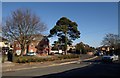
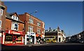
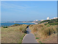
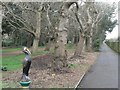
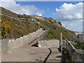
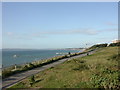
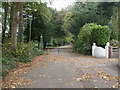
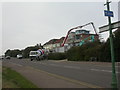
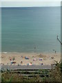
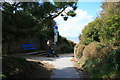
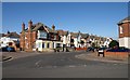
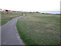
100 photos from this area
Area Information
Key information about the BH6 3SJ including its size, population, and administrative classification.
- Area Type
- Postcode
- Area Size
- 3.4 hectares
- Population
- Not available
- Population Density
- Not available
House Prices in BH6 3SJ
40
Properties
£380,115
Average Sold Price
£64,000
Lowest Price
£798,000
Highest Price
Showing 40 properties
| Address | Type | Beds | Baths | Last Sale Price | Last Sale Date | |
|---|---|---|---|---|---|---|
| 19 Seaward Avenue, Bournemouth, BH6 3SJ | Detached | 3 | 1 | £610,000 | Oct 2024 | |
| 11 Seaward Avenue, Bournemouth, BH6 3SJ | Semi-detached | 4 | 2 | £798,000 | May 2024 | |
| 1 Seaward Avenue, Bournemouth, BH6 3SJ | Detached | 3 | 2 | £670,000 | Jan 2024 | |
| 9 Seaward Avenue, Bournemouth, BH6 3SJ | house | 4 | 1 | £642,000 | Aug 2023 | |
| 57 Seaward Avenue, Bournemouth, BH6 3SJ | Flat | - | - | £325,000 | Jul 2022 | |
| 45 Seaward Avenue, Bournemouth, BH6 3SJ | house | - | - | £620,000 | Jun 2021 | |
| 7 Seaward Avenue, Bournemouth, BH6 3SJ | Detached | 3 | 2 | £600,000 | Jul 2019 | |
| 17 Seaward Avenue, Bournemouth, BH6 3SJ | Flat | - | - | £275,000 | Mar 2019 | |
| 5 Seaward Avenue, Bournemouth, BH6 3SJ | Detached | 4 | 1 | £625,000 | Aug 2018 | |
| 27A Seaward Avenue, Bournemouth, BH6 3SJ | Flat | - | - | £180,000 | May 2017 |
Page 1 of 4
Energy Efficiency in BH6 3SJ
Amenities
Schools
| Rank | School | Type | Entry gender | Ages |
|---|
Explore more schools in this area
Go to Schools tabDemographics
Household Size
One person
most common
Accommodation Type
Flats
most common
Tenure
55
majority
Ethnic Group
White
most common
Religion
N/A
most common
Household Composition
N/A
most common
Age
47
median
Adults (30-64 years)
most common
Household Deprivation
N/A
with no deprivation
NS-SEC
38
in Lower managerial occupations
Explore more demographic insights in this area
Go to Demographics tabPlanning
Planning Constraints
- Flood RiskPremium
- Ramsar Wetland SitesPremium
- Area of Outstanding Natural BeautyPremium
- Protected Nature ReservePremium
- Protected WoodlandPremium