Area Overview for BH22 0JH
Photos of BH22 0JH
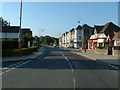
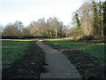
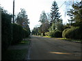
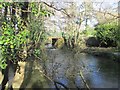
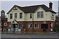
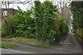
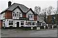
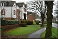
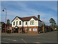
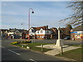
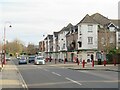
34 photos from this area
Area Information
Key information about the BH22 0JH including its size, population, and administrative classification.
- Area Type
- Postcode
- Area Size
- 1.3 hectares
- Population
- 1621
- Population Density
- 1327 people/km²
House Prices in BH22 0JH
22
Properties
£282,036
Average Sold Price
£139,950
Lowest Price
£375,000
Highest Price
Showing 22 properties
| Address | Type | Beds | Baths | Last Sale Price | Last Sale Date | |
|---|---|---|---|---|---|---|
| 29 Pennington Crescent, West Moors, BH22 0JH | Bungalow | 2 | 1 | £375,000 | Jun 2025 | |
| 6 Pennington Crescent, West Moors, BH22 0JH | Bungalow | 3 | 1 | £368,000 | Apr 2024 | |
| 9 Pennington Crescent, West Moors, BH22 0JH | Bungalow | 2 | - | £350,000 | Dec 2020 | |
| 12 Pennington Crescent, West Moors, BH22 0JH | Bungalow | - | - | £340,000 | Dec 2020 | |
| 31 Pennington Crescent, West Moors, BH22 0JH | Bungalow | 2 | 2 | £315,000 | Oct 2020 | |
| 10 Pennington Crescent, West Moors, BH22 0JH | Bungalow | 3 | 1 | £327,500 | Aug 2020 | |
| 14 Pennington Crescent, West Moors, BH22 0JH | Bungalow | - | - | £280,000 | May 2019 | |
| 5 Pennington Crescent, West Moors, BH22 0JH | Bungalow | 3 | 2 | £270,000 | Apr 2017 | |
| 2 Pennington Crescent, West Moors, BH22 0JH | Bungalow | 3 | - | £305,000 | Dec 2016 | |
| 4 Pennington Crescent, West Moors, BH22 0JH | Bungalow | - | - | £320,000 | Sep 2016 |
Page 1 of 3
Energy Efficiency in BH22 0JH
Amenities
Schools
| Rank | School | Type | Entry gender | Ages |
|---|
Explore more schools in this area
Go to Schools tabDemographics
Household Size
One person
most common
Accommodation Type
Houses
most common
Tenure
72
majority
Ethnic Group
White
most common
Religion
N/A
most common
Household Composition
N/A
most common
Age
70
median
Elderly (65+ years)
most common
Household Deprivation
N/A
with no deprivation
NS-SEC
33
in Lower managerial occupations
Explore more demographic insights in this area
Go to Demographics tabPlanning
Planning Constraints
- Flood RiskPremium
- Ramsar Wetland SitesPremium
- Area of Outstanding Natural BeautyPremium
- Protected Nature ReservePremium
- Protected WoodlandPremium