Area Overview for BH22 0HS
Photos of BH22 0HS
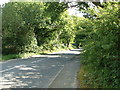
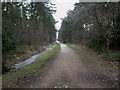
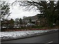
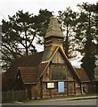

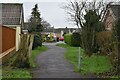
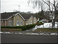
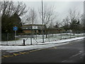
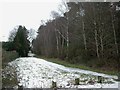
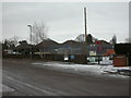
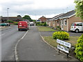
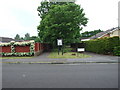
18 photos from this area
Area Information
Key information about the BH22 0HS including its size, population, and administrative classification.
- Area Type
- Postcode
- Area Size
- 1.2 hectares
- Population
- 1621
- Population Density
- 1327 people/km²
House Prices in BH22 0HS
17
Properties
£265,364
Average Sold Price
£91,000
Lowest Price
£480,000
Highest Price
Showing 17 properties
| Address | Type | Beds | Baths | Last Sale Price | Last Sale Date | |
|---|---|---|---|---|---|---|
| 127 Station Road, West Moors, BH22 0HS | Bungalow | 3 | 2 | £480,000 | May 2025 | |
| 117 Station Road, West Moors, BH22 0HS | Semi-detached | 2 | 1 | £385,000 | Jul 2024 | |
| 99 Station Road, West Moors, BH22 0HS | Bungalow | 2 | - | £378,639 | Apr 2024 | |
| 111 Station Road, West Moors, BH22 0HS | Bungalow | - | - | £397,000 | Sep 2020 | |
| 133 Station Road, West Moors, BH22 0HS | Semi-detached | 3 | 2 | £364,000 | Nov 2019 | |
| 109 Station Road, West Moors, BH22 0HS | Bungalow | 2 | 2 | £352,500 | Sep 2019 | |
| 103 Station Road, West Moors, BH22 0HS | Bungalow | 3 | 2 | £364,000 | Aug 2015 | |
| 123 Station Road, West Moors, BH22 0HS | Bungalow | - | - | £242,500 | Sep 2013 | |
| 101 Station Road, West Moors, BH22 0HS | Bungalow | 3 | 1 | £249,995 | Jun 2013 | |
| 113 Station Road, West Moors, BH22 0HS | Bungalow | - | - | £260,000 | Aug 2012 |
Page 1 of 2
Energy Efficiency in BH22 0HS
Amenities
Schools
| Rank | School | Type | Entry gender | Ages |
|---|
Explore more schools in this area
Go to Schools tabDemographics
Household Size
One person
most common
Accommodation Type
Houses
most common
Tenure
72
majority
Ethnic Group
White
most common
Religion
N/A
most common
Household Composition
N/A
most common
Age
70
median
Elderly (65+ years)
most common
Household Deprivation
N/A
with no deprivation
NS-SEC
33
in Lower managerial occupations
Explore more demographic insights in this area
Go to Demographics tabPlanning
Planning Constraints
- Flood RiskPremium
- Ramsar Wetland SitesPremium
- Area of Outstanding Natural BeautyPremium
- Protected Nature ReservePremium
- Protected WoodlandPremium