Area Overview for BH22 0EJ
Photos of BH22 0EJ
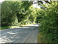
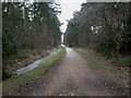
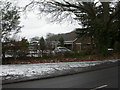
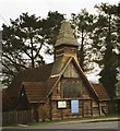

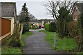
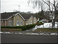
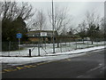
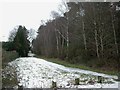
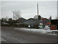
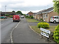
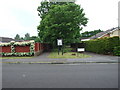
18 photos from this area
Area Information
Key information about the BH22 0EJ including its size, population, and administrative classification.
- Area Type
- Postcode
- Area Size
- 1.7 hectares
- Population
- 1621
- Population Density
- 1327 people/km²
House Prices in BH22 0EJ
12
Properties
£424,817
Average Sold Price
£129,950
Lowest Price
£745,000
Highest Price
Showing 12 properties
| Address | Type | Beds | Baths | Last Sale Price | Last Sale Date | |
|---|---|---|---|---|---|---|
| 24 Moorside Road, West Moors, BH22 0EJ | house | 4 | 2 | £745,000 | Jul 2023 | |
| 18 Moorside Road, West Moors, BH22 0EJ | Detached | 5 | - | £600,000 | Feb 2013 | |
| 20 Moorside Road, West Moors, BH22 0EJ | Detached | - | - | £605,000 | Jun 2009 | |
| 16 Moorside Road, West Moors, BH22 0EJ | Detached | - | - | £329,950 | Aug 2003 | |
| 26 Moorside Road, West Moors, BH22 0EJ | Detached | - | - | £129,950 | Sep 1998 | |
| 4 Moorside Road, West Moors, BH22 0EJ | house | - | - | £139,000 | Aug 1996 | |
| 14 Moorside Road, West Moors, BH22 0EJ | Detached | 4 | 2 | - | - | |
| 28 Moorside Road, West Moors, BH22 0EJ | Detached | - | - | - | - | |
| 10 Moorside Road, West Moors, BH22 0EJ | Detached | - | - | - | - | |
| 2 Moorside Road, West Moors, BH22 0EJ | Detached | - | - | - | - |
Page 1 of 2
Energy Efficiency in BH22 0EJ
Amenities
Schools
| Rank | School | Type | Entry gender | Ages |
|---|
Explore more schools in this area
Go to Schools tabDemographics
Household Size
One person
most common
Accommodation Type
Houses
most common
Tenure
72
majority
Ethnic Group
White
most common
Religion
N/A
most common
Household Composition
N/A
most common
Age
70
median
Elderly (65+ years)
most common
Household Deprivation
N/A
with no deprivation
NS-SEC
33
in Lower managerial occupations
Explore more demographic insights in this area
Go to Demographics tabPlanning
Planning Constraints
- Flood RiskPremium
- Ramsar Wetland SitesPremium
- Area of Outstanding Natural BeautyPremium
- Protected Nature ReservePremium
- Protected WoodlandPremium