Area Overview for BH22 0ER
Photos of BH22 0ER
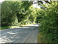
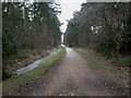
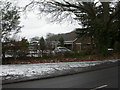
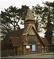
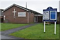
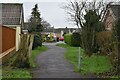
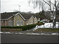
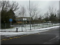
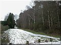
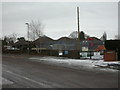
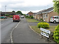
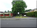
18 photos from this area
Area Information
Key information about the BH22 0ER including its size, population, and administrative classification.
- Area Type
- Postcode
- Area Size
- 1.1 hectares
- Population
- 1453
- Population Density
- 3110 people/km²
House Prices in BH22 0ER
9
Properties
£493,571
Average Sold Price
£190,000
Lowest Price
£830,000
Highest Price
Showing 9 properties
| Address | Type | Beds | Baths | Last Sale Price | Last Sale Date | |
|---|---|---|---|---|---|---|
| 50 Glenwood Road, West Moors, BH22 0ER | Bungalow | 4 | - | £662,500 | Sep 2023 | |
| 40 Glenwood Road, West Moors, BH22 0ER | Bungalow | 5 | 4 | £830,000 | Sep 2020 | |
| 38 Glenwood Road, West Moors, BH22 0ER | Detached | 4 | 2 | £597,500 | Jan 2017 | |
| 44 Glenwood Road, West Moors, BH22 0ER | house | 3 | - | £370,000 | Feb 2012 | |
| 36 Glenwood Road, West Moors, BH22 0ER | Detached | 3 | - | £320,000 | Sep 2010 | |
| 48 Glenwood Road, West Moors, BH22 0ER | Detached | - | - | £485,000 | Jul 2004 | |
| 42 Glenwood Road, West Moors, BH22 0ER | Bungalow | 6 | - | £190,000 | Sep 1998 | |
| 34 Glenwood Road, West Moors, BH22 0ER | Detached | - | - | - | - | |
| 46 Glenwood Road, West Moors, BH22 0ER | hospital_care_home | - | - | - | - |
Energy Efficiency in BH22 0ER
Amenities
Schools
| Rank | School | Type | Entry gender | Ages |
|---|
Explore more schools in this area
Go to Schools tabDemographics
Household Size
Two person
most common
Accommodation Type
Houses
most common
Tenure
90
majority
Ethnic Group
White
most common
Religion
N/A
most common
Household Composition
N/A
most common
Age
47
median
Elderly (65+ years)
most common
Household Deprivation
N/A
with no deprivation
NS-SEC
40
in Lower managerial occupations
Explore more demographic insights in this area
Go to Demographics tabPlanning
Planning Constraints
- Flood RiskPremium
- Ramsar Wetland SitesPremium
- Area of Outstanding Natural BeautyPremium
- Protected Nature ReservePremium
- Protected WoodlandPremium