Area Overview for BH21 6QU
Photos of BH21 6QU
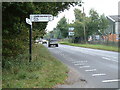
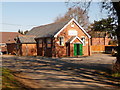
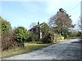
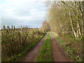
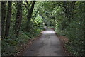
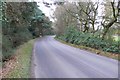
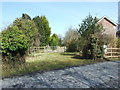
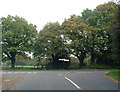
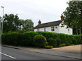
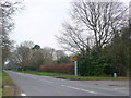
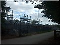

16 photos from this area
Area Information
Key information about the BH21 6QU including its size, population, and administrative classification.
- Area Type
- Postcode
- Area Size
- 25.3 hectares
- Population
- 1129
- Population Density
- 969 people/km²
House Prices in BH21 6QU
11
Properties
£341,167
Average Sold Price
£287,500
Lowest Price
£425,000
Highest Price
Showing 11 properties
| Address | Type | Beds | Baths | Last Sale Price | Last Sale Date | |
|---|---|---|---|---|---|---|
| Revells Crossing, Haddons Drive, Three Legged Cross, BH21 6QU | Detached | 3 | 2 | £287,500 | Jan 2016 | |
| 4 Haddons Drive, Three Legged Cross, BH21 6QU | Detached | - | - | £425,000 | Sep 2008 | |
| 3 Haddons Drive, Three Legged Cross, BH21 6QU | Semi-detached | 4 | 2 | £311,000 | Jul 2005 | |
| Moorlands, Haddons Drive, Three Legged Cross, BH21 6QU | Cottage | 3 | 2 | - | - | |
| Hunters Lodge, Haddons Drive, Three Legged Cross, BH21 6QU | Detached | - | - | - | - | |
| Cfc Steel Ltd, Haddons Drive, Three Legged Cross, BH21 6QU | Industrial | - | - | - | - | |
| Haddons Farm, Haddons Drive, Three Legged Cross, BH21 6QU | Bungalow | - | - | - | - | |
| Mobile Home, Three Cross Farm Cottage, Haddons Drive, Three Legged Cross, BH21 6QU | Mobile Home | - | - | - | - | |
| Greenlands, Haddons Drive, Three Legged Cross, BH21 6QU | Detached | - | - | - | - | |
| Mobile Home, Haddons Farm, Haddons Drive, Three Legged Cross, BH21 6QU | Mobile Home | - | - | - | - |
Page 1 of 2
Energy Efficiency in BH21 6QU
Amenities
Schools
| Rank | School | Type | Entry gender | Ages |
|---|
Explore more schools in this area
Go to Schools tabDemographics
Household Size
Two person
most common
Accommodation Type
Houses
most common
Tenure
69
majority
Ethnic Group
White
most common
Religion
N/A
most common
Household Composition
N/A
most common
Age
47
median
Adults (30-64 years)
most common
Household Deprivation
N/A
with no deprivation
NS-SEC
30
in Lower managerial occupations
Explore more demographic insights in this area
Go to Demographics tabPlanning
Planning Constraints
- Flood RiskPremium
- Ramsar Wetland SitesPremium
- Area of Outstanding Natural BeautyPremium
- Protected Nature ReservePremium
- Protected WoodlandPremium