Area Overview for BH21 1RS
Photos of BH21 1RS
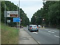
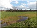
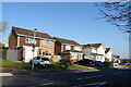
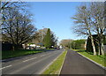
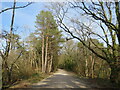
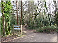
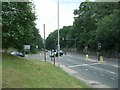
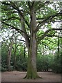
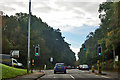
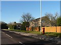
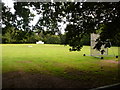
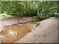
32 photos from this area
Area Information
Key information about the BH21 1RS including its size, population, and administrative classification.
- Area Type
- Postcode
- Area Size
- 19.4 hectares
- Population
- 1555
- Population Density
- 771 people/km²
House Prices in BH21 1RS
23
Properties
£336,265
Average Sold Price
£105,000
Lowest Price
£675,000
Highest Price
Showing 23 properties
| Address | Type | Beds | Baths | Last Sale Price | Last Sale Date | |
|---|---|---|---|---|---|---|
| Delph Lodge, 23 Delph Road, Poole, BH21 1RS | house | - | - | £675,000 | Oct 2018 | |
| 19 Delph Road, Poole, BH21 1RS | Bungalow | - | - | £500,000 | Jun 2018 | |
| 9 Delph Road, Poole, BH21 1RS | Bungalow | - | - | £409,000 | Dec 2015 | |
| 21 Delph Road, Poole, BH21 1RS | Detached | 4 | - | £492,000 | Apr 2013 | |
| 12 Delph Road, Poole, BH21 1RS | Detached | - | - | £354,000 | Dec 2008 | |
| 1 Delph Road, Poole, BH21 1RS | Detached | - | - | £400,000 | Aug 2007 | |
| 6 Delph Road, Poole, BH21 1RS | Detached | - | - | £284,000 | Oct 2006 | |
| 29 Delph Road, Poole, BH21 1RS | Detached | - | - | £325,000 | Apr 2005 | |
| 13 Delph Road, Poole, BH21 1RS | Detached | - | - | £302,500 | Aug 2003 | |
| 3 Delph Road, Poole, BH21 1RS | Bungalow | - | - | £180,000 | Sep 2001 |
Page 1 of 3
Energy Efficiency in BH21 1RS
Amenities
Schools
| Rank | School | Type | Entry gender | Ages |
|---|
Explore more schools in this area
Go to Schools tabDemographics
Household Size
Two person
most common
Accommodation Type
Houses
most common
Tenure
87
majority
Ethnic Group
White
most common
Religion
N/A
most common
Household Composition
N/A
most common
Age
47
median
Adults (30-64 years)
most common
Household Deprivation
N/A
with no deprivation
NS-SEC
46
in Lower managerial occupations
Explore more demographic insights in this area
Go to Demographics tabPlanning
Planning Constraints
- Flood RiskPremium
- Ramsar Wetland SitesPremium
- Area of Outstanding Natural BeautyPremium
- Protected Nature ReservePremium
- Protected WoodlandPremium