Area Overview for BH21 1RR
Photos of BH21 1RR
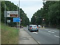
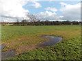
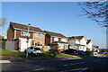
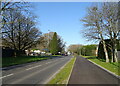
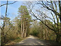
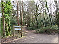
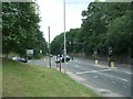
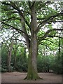
32 photos from this area
Area Information
Key information about the BH21 1RR including its size, population, and administrative classification.
- Area Type
- Postcode
- Area Size
- 2.6 hectares
- Population
- 1515
- Population Density
- 425 people/km²
House Prices in BH21 1RR
23
Properties
£292,720
Average Sold Price
£84,000
Lowest Price
£475,000
Highest Price
Showing 23 properties
| Address | Type | Beds | Baths | Last Sale Price | Last Sale Date | |
|---|---|---|---|---|---|---|
| 40 Gravel Hill, Poole, BH21 1RR | Bungalow | 4 | 3 | £475,000 | Oct 2017 | |
| 28 Gravel Hill, Poole, BH21 1RR | Detached | 4 | 2 | £387,500 | Nov 2014 | |
| 8 Gravel Hill, Poole, BH21 1RR | Bungalow | 4 | 2 | £385,000 | Jun 2014 | |
| 40A Gravel Hill, Poole, BH21 1RR | Detached | 4 | 2 | £306,000 | May 2014 | |
| 26 Gravel Hill, Poole, BH21 1RR | Detached | - | - | £345,000 | May 2004 | |
| 2 Gravel Hill, Poole, BH21 1RR | Bungalow | - | - | £201,000 | Sep 2002 | |
| 32 Gravel Hill, Poole, BH21 1RR | Detached | - | - | £158,257 | Jun 2000 | |
| 16 Gravel Hill, Poole, BH21 1RR | Detached | - | - | £84,000 | Mar 1996 | |
| 24 Gravel Hill, Poole, BH21 1RR | Detached | 3 | 2 | - | - | |
| 20 Gravel Hill, Poole, BH21 1RR | Detached | 3 | 2 | - | - |
Page 1 of 3
Energy Efficiency in BH21 1RR
Amenities
Schools
| Rank | School | Type | Entry gender | Ages |
|---|
Explore more schools in this area
Go to Schools tabDemographics
Household Size
Two person
most common
Accommodation Type
Houses
most common
Tenure
94
majority
Ethnic Group
White
most common
Religion
N/A
most common
Household Composition
N/A
most common
Age
47
median
Adults (30-64 years)
most common
Household Deprivation
N/A
with no deprivation
NS-SEC
46
in Lower managerial occupations
Explore more demographic insights in this area
Go to Demographics tabPlanning
Planning Constraints
- Flood RiskPremium
- Ramsar Wetland SitesPremium
- Area of Outstanding Natural BeautyPremium
- Protected Nature ReservePremium
- Protected WoodlandPremium