Area Overview for BH20 6AS
Photos of BH20 6AS
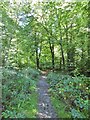
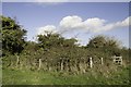
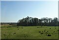
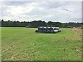
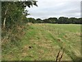
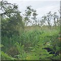
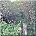
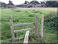
13 photos from this area
Area Information
Key information about the BH20 6AS including its size, population, and administrative classification.
- Area Type
- Postcode
- Area Size
- 26.0 hectares
- Population
- 1652
- Population Density
- 209 people/km²
House Prices in BH20 6AS
18
Properties
£572,857
Average Sold Price
£145,000
Lowest Price
£1,015,000
Highest Price
Showing 18 properties
| Address | Type | Beds | Baths | Last Sale Price | Last Sale Date | |
|---|---|---|---|---|---|---|
| Woodlands, Bindon Lane, East Stoke, BH20 6AS | house | 5 | 5 | £765,000 | Feb 2025 | |
| Willowbank, Bindon Lane, East Stoke, BH20 6AS | house | - | - | £1,015,000 | Jan 2020 | |
| Fair Santon, Bindon Lane, East Stoke, BH20 6AS | Bungalow | - | - | £750,000 | May 2017 | |
| Copse Side, Bindon Lane, East Stoke, BH20 6AS | Detached | - | - | £340,000 | Aug 2006 | |
| Hazel Lodge, Bindon Lane, East Stoke, BH20 6AS | Bungalow | 4 | 2 | £600,000 | Apr 2005 | |
| Inglewood Farm, Bindon Lane, East Stoke, BH20 6AS | Bungalow | - | - | £395,000 | Jul 2002 | |
| Broadhouse, Bindon Lane, East Stoke, BH20 6AS | Land | - | - | £145,000 | Oct 1995 | |
| The Apiary, Bindon Lane, East Stoke, BH20 6AS | Farm | - | - | - | - | |
| Sun Cottage, Bindon Lane, East Stoke, BH20 6AS | Detached | - | - | - | - | |
| Spa, Bindon Abbey, Bindon Lane, Wool, BH20 6AS | shop | - | - | - | - |
Page 1 of 2
Energy Efficiency in BH20 6AS
Amenities
Schools
| Rank | School | Type | Entry gender | Ages |
|---|
Explore more schools in this area
Go to Schools tabDemographics
Household Size
Two person
most common
Accommodation Type
Houses
most common
Tenure
73
majority
Ethnic Group
White
most common
Religion
N/A
most common
Household Composition
N/A
most common
Age
47
median
Adults (30-64 years)
most common
Household Deprivation
N/A
with no deprivation
NS-SEC
32
in Lower managerial occupations
Explore more demographic insights in this area
Go to Demographics tabPlanning
Planning Constraints
- Flood RiskPremium
- Ramsar Wetland SitesPremium
- Area of Outstanding Natural BeautyPremium
- Protected Nature ReservePremium
- Protected WoodlandPremium