Area Overview for BH20 6AR
Photos of BH20 6AR
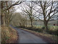
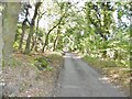
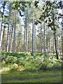
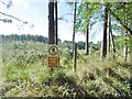
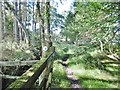

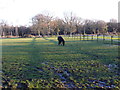
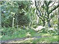
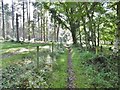
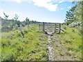
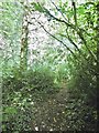
11 photos from this area
Area Information
Key information about the BH20 6AR including its size, population, and administrative classification.
- Area Type
- Postcode
- Area Size
- 3.4 km²
- Population
- 1314
- Population Density
- 26 people/km²
House Prices in BH20 6AR
18
Properties
£760,220
Average Sold Price
£210,000
Lowest Price
£1,321,321
Highest Price
Showing 18 properties
| Address | Type | Beds | Baths | Last Sale Price | Last Sale Date | |
|---|---|---|---|---|---|---|
| Highwood Ferris, Highwood, East Stoke, BH20 6AR | house | 4 | - | £1,275,000 | Jun 2023 | |
| Oak Tree Farm, Highwood, East Stoke, BH20 6AR | Detached | 2 | 1 | £1,321,321 | Dec 2022 | |
| Baylea Farm Lodge, Highwood, East Stoke, BH20 6AR | Bungalow | 4 | 2 | £780,000 | Jul 2022 | |
| Baylea Farm Cottage, Highwood, East Stoke, BH20 6AR | Bungalow | 3 | - | £400,000 | Aug 2020 | |
| Friendship Cottage, Highwood, East Stoke, BH20 6AR | Semi-detached | - | - | £575,000 | Mar 2014 | |
| Roebuck Farm, Highwood, East Stoke, BH20 6AR | Bungalow | 4 | - | £210,000 | Sep 2004 | |
| The Lodge, Highwood, East Stoke, BH20 6AR | Terraced | 3 | 2 | - | - | |
| Laurel Cottage, Highwood, East Stoke, BH20 6AR | Bungalow | 4 | - | - | - | |
| Twelve Green Acres, Roebuck Farm, Highwood, East Stoke, BH20 6AR | Farm | - | - | - | - | |
| Annexe, Hilltop, Highwood, East Stoke, BH20 6AR | Flat | - | - | - | - |
Page 1 of 2
Energy Efficiency in BH20 6AR
Amenities
Schools
| Rank | School | Type | Entry gender | Ages |
|---|
Explore more schools in this area
Go to Schools tabDemographics
Household Size
Two person
most common
Accommodation Type
Houses
most common
Tenure
54
majority
Ethnic Group
White
most common
Religion
N/A
most common
Household Composition
N/A
most common
Age
47
median
Adults (30-64 years)
most common
Household Deprivation
N/A
with no deprivation
NS-SEC
38
in Lower managerial occupations
Explore more demographic insights in this area
Go to Demographics tabPlanning
Planning Constraints
- Flood RiskPremium
- Ramsar Wetland SitesPremium
- Area of Outstanding Natural BeautyPremium
- Protected Nature ReservePremium
- Protected WoodlandPremium