Area Overview for BH17 9HG
Photos of BH17 9HG
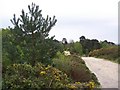
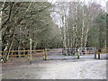
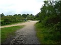
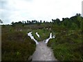
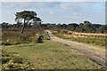
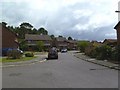
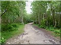
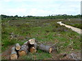
8 photos from this area
Area Information
Key information about the BH17 9HG including its size, population, and administrative classification.
- Area Type
- Postcode
- Area Size
- 7130 m²
- Population
- Not available
- Population Density
- Not available
House Prices in BH17 9HG
9
Properties
£260,401
Average Sold Price
£79,000
Lowest Price
£565,000
Highest Price
Showing 9 properties
| Address | Type | Beds | Baths | Last Sale Price | Last Sale Date | |
|---|---|---|---|---|---|---|
| 37 Portesham Way, Poole, BH17 9HG | Detached | 5 | 3 | £565,000 | Sep 2023 | |
| 49 Portesham Way, Poole, BH17 9HG | house | - | - | £314,450 | Feb 2021 | |
| 35 Portesham Way, Poole, BH17 9HG | Detached | 4 | 2 | £243,750 | Apr 2016 | |
| 33 Portesham Way, Poole, BH17 9HG | Detached | 4 | 1 | £312,500 | Oct 2015 | |
| 41 Portesham Way, Poole, BH17 9HG | Detached | 4 | - | £240,010 | Oct 2013 | |
| 47 Portesham Way, Poole, BH17 9HG | house | 4 | - | £215,000 | Sep 2010 | |
| 45 Portesham Way, Poole, BH17 9HG | Detached | - | - | £113,500 | Jun 1999 | |
| 43 Portesham Way, Poole, BH17 9HG | Detached | - | - | £79,000 | Aug 1997 | |
| 39 Portesham Way, Poole, BH17 9HG | Semi-detached | - | - | - | - |
Energy Efficiency in BH17 9HG
Amenities
Schools
| Rank | School | Type | Entry gender | Ages |
|---|
Explore more schools in this area
Go to Schools tabDemographics
Household Size
Two person
most common
Accommodation Type
Houses
most common
Tenure
65
majority
Ethnic Group
White
most common
Religion
N/A
most common
Household Composition
N/A
most common
Age
47
median
Adults (30-64 years)
most common
Household Deprivation
N/A
with no deprivation
NS-SEC
31
in Lower managerial occupations
Explore more demographic insights in this area
Go to Demographics tabPlanning
Planning Constraints
- Flood RiskPremium
- Ramsar Wetland SitesPremium
- Area of Outstanding Natural BeautyPremium
- Protected Nature ReservePremium
- Protected WoodlandPremium