Area Overview for BH14 0DP
Photos of BH14 0DP
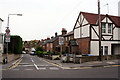
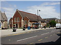
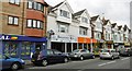
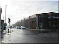
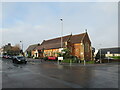
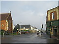
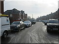
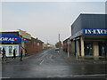
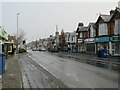
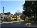
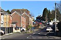
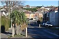
27 photos from this area
Area Information
Key information about the BH14 0DP including its size, population, and administrative classification.
- Area Type
- Postcode
- Area Size
- 7597 m²
- Population
- 1858
- Population Density
- 244574 people/km²
House Prices in BH14 0DP
33
Properties
£260,240
Average Sold Price
£94,000
Lowest Price
£365,000
Highest Price
Showing 33 properties
| Address | Type | Beds | Baths | Last Sale Price | Last Sale Date | |
|---|---|---|---|---|---|---|
| 30 Salisbury Road, Poole, BH14 0DP | Semi-detached | 3 | 1 | £338,500 | Nov 2024 | |
| 18 Salisbury Road, Poole, BH14 0DP | Terraced | 2 | 1 | £347,000 | Oct 2022 | |
| 44 Salisbury Road, Poole, BH14 0DP | Semi-detached | 4 | 2 | £337,600 | Jul 2022 | |
| 24 Salisbury Road, Poole, BH14 0DP | Terraced | 3 | 1 | £280,000 | Jun 2022 | |
| 20 Salisbury Road, Poole, BH14 0DP | Retail | 2 | 1 | £343,000 | Apr 2022 | |
| 42 Salisbury Road, Poole, BH14 0DP | Semi-detached | 4 | 2 | £365,000 | Mar 2022 | |
| 22 Salisbury Road, Poole, BH14 0DP | Terraced | 3 | 2 | £273,500 | Dec 2019 | |
| 34 Salisbury Road, Poole, BH14 0DP | Semi-detached | 3 | 1 | £265,000 | Jul 2019 | |
| 32 Salisbury Road, Poole, BH14 0DP | house | 3 | - | £262,000 | Jun 2016 | |
| 26 Salisbury Road, Poole, BH14 0DP | Terraced | 3 | - | £220,000 | Oct 2014 |
Page 1 of 4
Energy Efficiency in BH14 0DP
Amenities
Schools
| Rank | School | Type | Entry gender | Ages |
|---|
Explore more schools in this area
Go to Schools tabDemographics
Household Size
Family (3-5 people)
most common
Accommodation Type
Houses
most common
Tenure
61
majority
Ethnic Group
White
most common
Religion
N/A
most common
Household Composition
N/A
most common
Age
47
median
Adults (30-64 years)
most common
Household Deprivation
N/A
with no deprivation
NS-SEC
37
in Lower managerial occupations
Explore more demographic insights in this area
Go to Demographics tabPlanning
Planning Constraints
- Flood RiskPremium
- Ramsar Wetland SitesPremium
- Area of Outstanding Natural BeautyPremium
- Protected Nature ReservePremium
- Protected WoodlandPremium