Area Overview for BH13 7RL
Photos of BH13 7RL
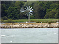

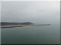

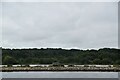
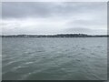
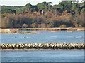
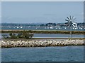
20 photos from this area
Area Information
Key information about the BH13 7RL including its size, population, and administrative classification.
- Area Type
- Postcode
- Area Size
- 26.8 hectares
- Population
- 1525
- Population Density
- 1229 people/km²
House Prices in BH13 7RL
25
Properties
£2,971,300
Average Sold Price
£88,000
Lowest Price
£11,500,000
Highest Price
Showing 25 properties
| Address | Type | Beds | Baths | Last Sale Price | Last Sale Date | |
|---|---|---|---|---|---|---|
| The Brink, 19 Old Coastguard Road, Poole, BH13 7RL | Detached | 6 | 5 | £11,500,000 | Jul 2023 | |
| 14 Old Coastguard Road, Poole, BH13 7RL | Detached | 4 | - | £500,000 | Jul 2023 | |
| Leeside, 18 Old Coastguard Road, Poole, BH13 7RL | Land | 5 | 1 | £3,250,000 | Sep 2020 | |
| 15 Old Coastguard Road, Poole, BH13 7RL | Detached | 5 | - | £2,300,000 | Sep 2019 | |
| 13 Old Coastguard Road, Poole, BH13 7RL | Bungalow | - | - | £2,200,000 | Sep 2018 | |
| 12 Old Coastguard Road, Poole, BH13 7RL | Bungalow | 3 | 1 | £1,900,000 | Oct 2017 | |
| 20 Old Coastguard Road, Poole, BH13 7RL | house | - | - | £1,250,000 | Jun 2012 | |
| Waves, 16A Old Coastguard Road, Poole, BH13 7RL | house | 5 | - | £3,500,000 | Jan 2012 | |
| Breakers, 16 Old Coastguard Road, Poole, BH13 7RL | Detached | 4 | 4 | £3,225,000 | May 2005 | |
| 7 Old Coastguard Road, Poole, BH13 7RL | Terraced | 3 | 1 | £88,000 | May 1995 |
Page 1 of 3
Energy Efficiency in BH13 7RL
Amenities
Schools
| Rank | School | Type | Entry gender | Ages |
|---|
Explore more schools in this area
Go to Schools tabDemographics
Household Size
Two person
most common
Accommodation Type
Flats
most common
Tenure
72
majority
Ethnic Group
White
most common
Religion
N/A
most common
Household Composition
N/A
most common
Age
47
median
Adults (30-64 years)
most common
Household Deprivation
N/A
with no deprivation
NS-SEC
49
in Lower managerial occupations
Explore more demographic insights in this area
Go to Demographics tabPlanning
Planning Constraints
- Flood RiskPremium
- Ramsar Wetland SitesPremium
- Area of Outstanding Natural BeautyPremium
- Protected Nature ReservePremium
- Protected WoodlandPremium