Area Overview for BH13 7BP
Photos of BH13 7BP
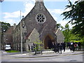

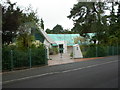
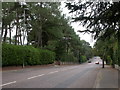
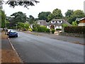
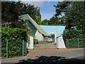
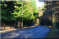
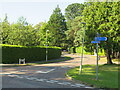
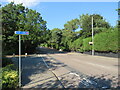
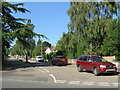
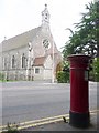
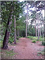
22 photos from this area
Area Information
Key information about the BH13 7BP including its size, population, and administrative classification.
- Area Type
- Postcode
- Area Size
- 5.8 hectares
- Population
- 1780
- Population Density
- 1152 people/km²
House Prices in BH13 7BP
7
Properties
£2,288,500
Average Sold Price
£1,117,500
Lowest Price
£4,275,000
Highest Price
Showing 7 properties
| Address | Type | Beds | Baths | Last Sale Price | Last Sale Date | |
|---|---|---|---|---|---|---|
| 20 Western Road, Poole, BH13 7BP | Detached | 7 | 5 | £4,275,000 | Apr 2024 | |
| 18 Western Road, Poole, BH13 7BP | Detached | 7 | 5 | £2,300,000 | Dec 2017 | |
| 24 Western Road, Poole, BH13 7BP | Detached | 5 | 4 | £1,900,000 | Dec 2016 | |
| 18A Western Road, Poole, BH13 7BP | Detached | 5 | 1 | £1,850,000 | Nov 2015 | |
| 26 Western Road, Poole, BH13 7BP | Detached | 4 | 1 | £1,117,500 | Jun 2007 | |
| 22 Western Road, Poole, BH13 7BP | Detached | 4 | 2 | - | - | |
| 28 Western Road, Poole, BH13 7BP | house | - | - | - | - |
Energy Efficiency in BH13 7BP
Amenities
Schools
| Rank | School | Type | Entry gender | Ages |
|---|
Explore more schools in this area
Go to Schools tabDemographics
Household Size
Two person
most common
Accommodation Type
Flats
most common
Tenure
84
majority
Ethnic Group
White
most common
Religion
N/A
most common
Household Composition
N/A
most common
Age
47
median
Elderly (65+ years)
most common
Household Deprivation
N/A
with no deprivation
NS-SEC
54
in Lower managerial occupations
Explore more demographic insights in this area
Go to Demographics tabPlanning
Planning Constraints
- Flood RiskPremium
- Ramsar Wetland SitesPremium
- Area of Outstanding Natural BeautyPremium
- Protected Nature ReservePremium
- Protected WoodlandPremium