Area Overview for BA22 9RY
Photos of BA22 9RY
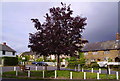
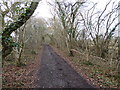
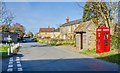
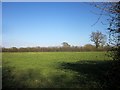
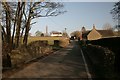
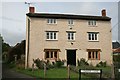

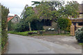
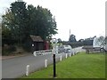
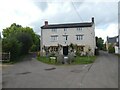
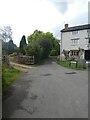
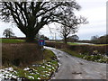
25 photos from this area
Area Information
Key information about the BA22 9RY including its size, population, and administrative classification.
- Area Type
- Postcode
- Area Size
- 66.6 hectares
- Population
- 1871
- Population Density
- 25 people/km²
House Prices in BA22 9RY
15
Properties
£414,286
Average Sold Price
£200,000
Lowest Price
£865,000
Highest Price
Showing 15 properties
| Address | Type | Beds | Baths | Last Sale Price | Last Sale Date | |
|---|---|---|---|---|---|---|
| Boundary Farm, Corscombe Road, Halstock, BA22 9RY | house | - | - | £865,000 | Apr 2020 | |
| The Grey House, Corscombe Road, Halstock, BA22 9RY | Detached | - | - | £520,000 | Dec 2016 | |
| Bay Cottage, Corscombe Road, Halstock, BA22 9RY | Cottage | 3 | 2 | £305,000 | Aug 2015 | |
| Hectors New Field, Corscombe Road, Halstock, BA22 9RY | Detached | 4 | 3 | £445,000 | Mar 2011 | |
| Oakwell, Corscombe Road, Halstock, BA22 9RY | Bungalow | - | - | £335,000 | Sep 2009 | |
| Merlewood, Corscombe Road, Halstock, BA22 9RY | Detached | - | - | £230,000 | Sep 2008 | |
| Foxes Den, Corscombe Road, Halstock, BA22 9RY | Bungalow | 3 | - | £200,000 | May 2003 | |
| Hectors Corner, Corscombe Road, Halstock, BA22 9RY | Bungalow | 2 | 1 | - | - | |
| Oakleigh, Corscombe Road, Halstock, BA22 9RY | Retail | 3 | 2 | - | - | |
| Mobile Home, Dogwell Farm, Corscombe Road, Halstock, BA22 9RY | Detached | 5 | 3 | - | - |
Page 1 of 2
Energy Efficiency in BA22 9RY
Amenities
Schools
| Rank | School | Type | Entry gender | Ages |
|---|
Explore more schools in this area
Go to Schools tabDemographics
Household Size
Two person
most common
Accommodation Type
Houses
most common
Tenure
67
majority
Ethnic Group
White
most common
Religion
N/A
most common
Household Composition
N/A
most common
Age
47
median
Adults (30-64 years)
most common
Household Deprivation
N/A
with no deprivation
NS-SEC
38
in Lower managerial occupations
Explore more demographic insights in this area
Go to Demographics tabPlanning
Planning Constraints
- Flood RiskPremium
- Ramsar Wetland SitesPremium
- Area of Outstanding Natural BeautyPremium
- Protected Nature ReservePremium
- Protected WoodlandPremium