Area Overview for BA14 9TH
Photos of BA14 9TH
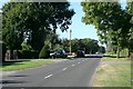
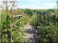
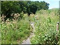
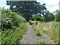
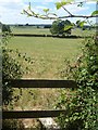
13 photos from this area
Area Information
Key information about the BA14 9TH including its size, population, and administrative classification.
- Area Type
- Postcode
- Area Size
- 1.7 hectares
- Population
- 1861
- Population Density
- 1663 people/km²
House Prices in BA14 9TH
22
Properties
£217,279
Average Sold Price
£75,000
Lowest Price
£515,000
Highest Price
Showing 22 properties
| Address | Type | Beds | Baths | Last Sale Price | Last Sale Date | |
|---|---|---|---|---|---|---|
| 13 Leafield Place, Trowbridge, BA14 9TH | house | - | - | £515,000 | Jun 2025 | |
| 9 Leafield Place, Trowbridge, BA14 9TH | house | - | - | £275,000 | Jun 2018 | |
| 3 Leafield Place, Trowbridge, BA14 9TH | Detached | - | - | £300,000 | Mar 2018 | |
| 18 Leafield Place, Trowbridge, BA14 9TH | Detached | 4 | - | £315,000 | Jun 2015 | |
| 16 Leafield Place, Trowbridge, BA14 9TH | Land | - | - | £275,000 | Sep 2014 | |
| 5 Leafield Place, Trowbridge, BA14 9TH | Detached | - | - | £265,000 | Oct 2007 | |
| 11 Leafield Place, Trowbridge, BA14 9TH | Detached | - | - | £210,000 | Apr 2007 | |
| 8 Leafield Place, Trowbridge, BA14 9TH | Detached | 4 | 2 | £239,950 | Feb 2005 | |
| 10 Leafield Place, Trowbridge, BA14 9TH | Detached | - | - | £126,950 | Apr 2002 | |
| 7 Leafield Place, Trowbridge, BA14 9TH | Detached | - | - | £137,500 | Feb 2001 |
Page 1 of 3
Energy Efficiency in BA14 9TH
Amenities
Schools
| Rank | School | Type | Entry gender | Ages |
|---|
Explore more schools in this area
Go to Schools tabDemographics
Household Size
Two person
most common
Accommodation Type
Houses
most common
Tenure
90
majority
Ethnic Group
White
most common
Religion
N/A
most common
Household Composition
N/A
most common
Age
47
median
Adults (30-64 years)
most common
Household Deprivation
N/A
with no deprivation
NS-SEC
37
in Lower managerial occupations
Explore more demographic insights in this area
Go to Demographics tabPlanning
Planning Constraints
- Flood RiskPremium
- Ramsar Wetland SitesPremium
- Area of Outstanding Natural BeautyPremium
- Protected Nature ReservePremium
- Protected WoodlandPremium