Area Overview for BA14 9BR
Photos of BA14 9BR
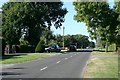
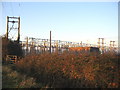
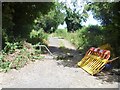
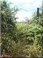
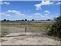
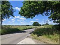

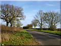
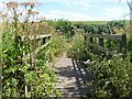
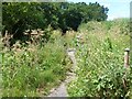
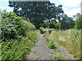
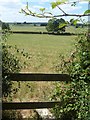
13 photos from this area
Area Information
Key information about the BA14 9BR including its size, population, and administrative classification.
- Area Type
- Postcode
- Area Size
- 55.3 hectares
- Population
- 2456
- Population Density
- 142 people/km²
House Prices in BA14 9BR
27
Properties
£570,773
Average Sold Price
£375,000
Lowest Price
£925,000
Highest Price
Showing 27 properties
| Address | Type | Beds | Baths | Last Sale Price | Last Sale Date | |
|---|---|---|---|---|---|---|
| Leighton Green, 35 Westwood Road, Trowbridge, BA14 9BR | house | - | - | £925,000 | Sep 2021 | |
| 15A Westwood Road, Trowbridge, BA14 9BR | Detached | 6 | - | £635,000 | Mar 2021 | |
| Hebden House, 4 Westwood Road, Trowbridge, BA14 9BR | Semi-detached | 5 | 3 | £780,000 | May 2020 | |
| 31 Westwood Road, Trowbridge, BA14 9BR | Land | - | - | £725,000 | Sep 2017 | |
| Cranmore, 19 Westwood Road, Trowbridge, BA14 9BR | house | 4 | - | £566,000 | Jul 2013 | |
| The Lodge, 6 Westwood Road, Trowbridge, BA14 9BR | Detached | - | - | £580,000 | Apr 2013 | |
| Oakfield, 37 Westwood Road, Trowbridge, BA14 9BR | house | 4 | - | £477,500 | Oct 2012 | |
| Little Barn, 27 Westwood Road, Trowbridge, BA14 9BR | Detached | - | - | £375,000 | Jun 2012 | |
| 29 Westwood Road, Trowbridge, BA14 9BR | Bungalow | - | - | £395,000 | Oct 2011 | |
| Court Lodge, 17 Westwood Road, Trowbridge, BA14 9BR | Detached | - | - | £390,000 | Apr 2008 |
Page 1 of 3
Energy Efficiency in BA14 9BR
Amenities
Schools
| Rank | School | Type | Entry gender | Ages |
|---|
Explore more schools in this area
Go to Schools tabDemographics
Household Size
Two person
most common
Accommodation Type
Houses
most common
Tenure
80
majority
Ethnic Group
White
most common
Religion
N/A
most common
Household Composition
N/A
most common
Age
47
median
Adults (30-64 years)
most common
Household Deprivation
N/A
with no deprivation
NS-SEC
34
in Lower managerial occupations
Explore more demographic insights in this area
Go to Demographics tabPlanning
Planning Constraints
- Flood RiskPremium
- Ramsar Wetland SitesPremium
- Area of Outstanding Natural BeautyPremium
- Protected Nature ReservePremium
- Protected WoodlandPremium