Area Overview for BA14 9JY
Photos of BA14 9JY
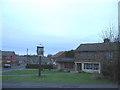
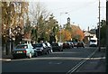
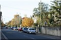
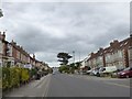
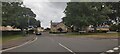
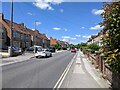
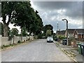
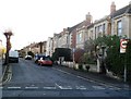
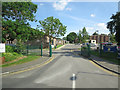
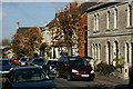
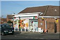
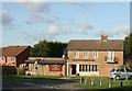
12 photos from this area
Area Information
Key information about the BA14 9JY including its size, population, and administrative classification.
- Area Type
- Postcode
- Area Size
- 6397 m²
- Population
- 1618
- Population Density
- 3173 people/km²
House Prices in BA14 9JY
16
Properties
£181,746
Average Sold Price
£66,500
Lowest Price
£290,000
Highest Price
Showing 16 properties
| Address | Type | Beds | Baths | Last Sale Price | Last Sale Date | |
|---|---|---|---|---|---|---|
| 21 Eastview Road, Trowbridge, BA14 9JY | Semi-detached | 3 | 1 | £254,950 | Jan 2025 | |
| 14 Eastview Road, Trowbridge, BA14 9JY | Semi-detached | 3 | 2 | £290,000 | Oct 2024 | |
| 31 Eastview Road, Trowbridge, BA14 9JY | Semi-detached | 3 | - | £260,000 | Sep 2021 | |
| 16 Eastview Road, Trowbridge, BA14 9JY | house | - | - | £228,000 | Aug 2018 | |
| 12 Eastview Road, Trowbridge, BA14 9JY | house | - | - | £257,500 | Mar 2017 | |
| 13 Eastview Road, Trowbridge, BA14 9JY | Semi-detached | 3 | - | £147,000 | Jan 2014 | |
| 25 Eastview Road, Trowbridge, BA14 9JY | house | - | - | £150,000 | Jan 2013 | |
| 10A Eastview Road, Trowbridge, BA14 9JY | house | 4 | - | £160,000 | Aug 2012 | |
| 23 Eastview Road, Trowbridge, BA14 9JY | house | 1 | - | £130,000 | Jul 2010 | |
| 15 Eastview Road, Trowbridge, BA14 9JY | Semi-detached | 3 | 1 | £155,000 | Jun 2007 |
Page 1 of 2
Energy Efficiency in BA14 9JY
Amenities
Schools
| Rank | School | Type | Entry gender | Ages |
|---|
Explore more schools in this area
Go to Schools tabDemographics
Household Size
Family (3-5 people)
most common
Accommodation Type
Houses
most common
Tenure
83
majority
Ethnic Group
White
most common
Religion
N/A
most common
Household Composition
N/A
most common
Age
47
median
Adults (30-64 years)
most common
Household Deprivation
N/A
with no deprivation
NS-SEC
33
in Lower managerial occupations
Explore more demographic insights in this area
Go to Demographics tabPlanning
Planning Constraints
- Flood RiskPremium
- Ramsar Wetland SitesPremium
- Area of Outstanding Natural BeautyPremium
- Protected Nature ReservePremium
- Protected WoodlandPremium