Area Overview for BA14 9JU
Photos of BA14 9JU
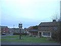
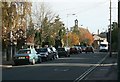
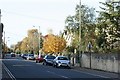
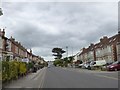
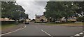
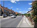
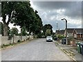
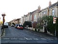
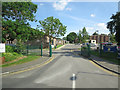
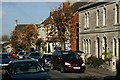
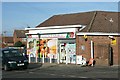
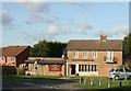
12 photos from this area
Area Information
Key information about the BA14 9JU including its size, population, and administrative classification.
- Area Type
- Postcode
- Area Size
- 1.6 hectares
- Population
- 1618
- Population Density
- 3173 people/km²
House Prices in BA14 9JU
29
Properties
£136,497
Average Sold Price
£53,000
Lowest Price
£335,000
Highest Price
Showing 29 properties
| Address | Type | Beds | Baths | Last Sale Price | Last Sale Date | |
|---|---|---|---|---|---|---|
| 9 Elmdale Road, Trowbridge, BA14 9JU | Detached | 3 | 2 | £335,000 | Aug 2025 | |
| 10 Elmdale Road, Trowbridge, BA14 9JU | house | - | - | £142,000 | Sep 2019 | |
| 5 Elmdale Road, Trowbridge, BA14 9JU | house | - | - | £210,000 | May 2019 | |
| 16 Elmdale Road, Trowbridge, BA14 9JU | Semi-detached | 3 | 2 | £172,500 | May 2015 | |
| 23 Elmdale Road, Trowbridge, BA14 9JU | Semi-detached | 3 | 1 | £165,000 | Feb 2014 | |
| 20 Elmdale Road, Trowbridge, BA14 9JU | Semi-detached | 3 | 1 | £147,000 | Jun 2013 | |
| 2 Elmdale Road, Trowbridge, BA14 9JU | house | 3 | - | £149,950 | Jun 2012 | |
| 15 Elmdale Road, Trowbridge, BA14 9JU | Semi-detached | - | - | £151,500 | Dec 2006 | |
| 17 Elmdale Road, Trowbridge, BA14 9JU | Semi-detached | - | - | £152,500 | Sep 2005 | |
| 18 Elmdale Road, Trowbridge, BA14 9JU | Semi-detached | - | - | £110,000 | Nov 2003 |
Page 1 of 3
Energy Efficiency in BA14 9JU
Amenities
Schools
| Rank | School | Type | Entry gender | Ages |
|---|
Explore more schools in this area
Go to Schools tabDemographics
Household Size
Family (3-5 people)
most common
Accommodation Type
Houses
most common
Tenure
83
majority
Ethnic Group
White
most common
Religion
N/A
most common
Household Composition
N/A
most common
Age
47
median
Adults (30-64 years)
most common
Household Deprivation
N/A
with no deprivation
NS-SEC
33
in Lower managerial occupations
Explore more demographic insights in this area
Go to Demographics tabPlanning
Planning Constraints
- Flood RiskPremium
- Ramsar Wetland SitesPremium
- Area of Outstanding Natural BeautyPremium
- Protected Nature ReservePremium
- Protected WoodlandPremium