Area Overview for UB9 5EQ
Photos of UB9 5EQ
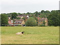
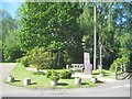
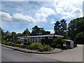
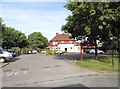
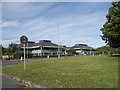
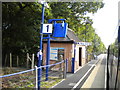
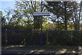
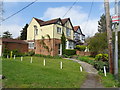
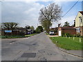
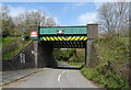
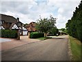
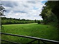
29 photos from this area
Area Information
Key information about the UB9 5EQ including its size, population, and administrative classification.
- Area Type
- Postcode
- Area Size
- 5.9 hectares
- Population
- 2014
- Population Density
- 511 people/km²
House Prices in UB9 5EQ
25
Properties
£458,606
Average Sold Price
£168,000
Lowest Price
£800,000
Highest Price
Showing 25 properties
| Address | Type | Beds | Baths | Last Sale Price | Last Sale Date | |
|---|---|---|---|---|---|---|
| 61 Middle Road, Denham, UB9 5EQ | Detached | 5 | 3 | £800,000 | Aug 2023 | |
| 55 Middle Road, Denham, UB9 5EQ | Semi-detached | 3 | 1 | £485,000 | Mar 2023 | |
| Miramar, 63 Middle Road, Denham, UB9 5EQ | Detached | 4 | 2 | £740,000 | Nov 2020 | |
| 41 Middle Road, Denham, UB9 5EQ | Detached | 3 | 2 | £570,000 | Apr 2020 | |
| 49 Middle Road, Denham, UB9 5EQ | Bungalow | 4 | 2 | £575,000 | Feb 2015 | |
| 50 Middle Road, Denham, UB9 5EQ | Bungalow | - | - | £295,000 | Oct 2012 | |
| 45 Middle Road, Denham, UB9 5EQ | Semi-detached | 4 | 2 | £575,000 | May 2010 | |
| 58 Middle Road, Denham, UB9 5EQ | Detached | 5 | 4 | £475,000 | Feb 2008 | |
| 57 Middle Road, Denham, UB9 5EQ | Terraced | - | - | £590,000 | Sep 2007 | |
| 39 Middle Road, Denham, UB9 5EQ | Detached | 4 | 2 | £349,950 | Jun 2007 |
Page 1 of 3
Energy Efficiency in UB9 5EQ
Amenities
Schools
| Rank | School | Type | Entry gender | Ages |
|---|
Explore more schools in this area
Go to Schools tabDemographics
Household Size
Family (3-5 people)
most common
Accommodation Type
Houses
most common
Tenure
84
majority
Ethnic Group
White
most common
Religion
N/A
most common
Household Composition
N/A
most common
Age
47
median
Adults (30-64 years)
most common
Household Deprivation
N/A
with no deprivation
NS-SEC
44
in Lower managerial occupations
Explore more demographic insights in this area
Go to Demographics tabPlanning
Planning Constraints
- Flood RiskPremium
- Ramsar Wetland SitesPremium
- Area of Outstanding Natural BeautyPremium
- Protected Nature ReservePremium
- Protected WoodlandPremium